


25 km | 27 km-effort
Kalmthout: Descubra las mejores excursiones: 7 a pie, 28 senderismo y 1 ruta. Todos estos circuitos, recorridos, itinerarios y actividades al aire libre están disponibles en nuestras aplicaciones SityTrail para smartphone y tablet.
Senderismo


Senderismo
Senderismo
A pie
A pie
A pie
A pie
A pie
A pie
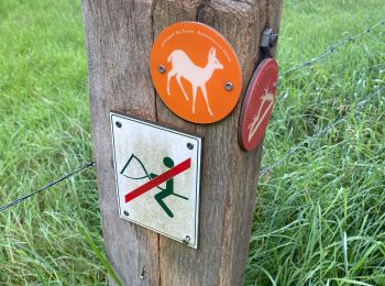
• Symbol: deer
Senderismo
Senderismo
Senderismo
Senderismo
Senderismo
Senderismo
Senderismo

A pie
Senderismo
Senderismo
• More information on GPStracks.nl : http://www.gpstracks.nl
Senderismo
• More information on GPStracks.nl : http://www.gpstracks.nl
20 excursiones mostradas en 36
Aplicación GPS de excursión GRATIS
 SityTrail
IGN / Institutos geográficos
SityTrail World
El mundo es suyo