


6,5 km | 13,2 km-effort
Lans-en-Vercors: Descubra las mejores excursiones: 8 a pie, 299 senderismo, 10 marcha nórdica y 2 ruta. Todos estos circuitos, recorridos, itinerarios y actividades al aire libre están disponibles en nuestras aplicaciones SityTrail para smartphone y tablet.
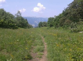
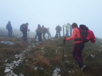
Senderismo


• Le pic saint Michel par le dessus des Allières. Pour les petites jambes, permet de gagner 130 m de deniv; en plus, s...
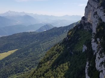
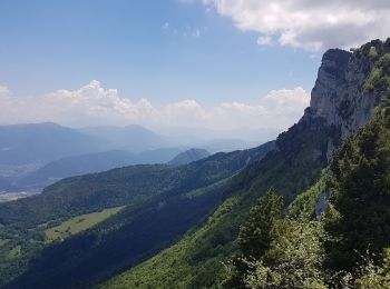
Senderismo
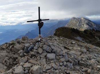
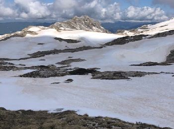
Senderismo
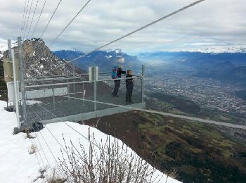
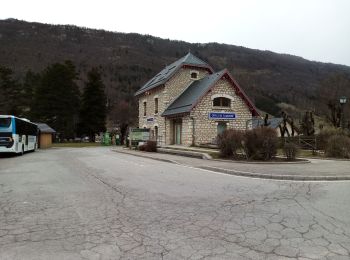
Senderismo
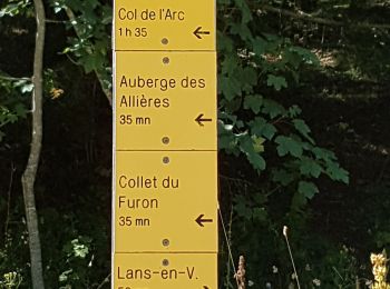
• Le départ du Furon permet de rajouter 300m de dénivelé à une rando qui serait un peu courte au départ du Stade de nei...
Senderismo

Senderismo
Senderismo
Senderismo
Senderismo
Senderismo
Senderismo
Marcha nórdica
Senderismo
Senderismo
Senderismo
Senderismo
Senderismo
Senderismo
Senderismo
Senderismo
20 excursiones mostradas en 318
Aplicación GPS de excursión GRATIS
 SityTrail
IGN / Institutos geográficos
SityTrail World
El mundo es suyo