


13,1 km | 24 km-effort
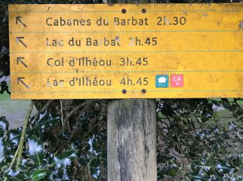
Estaing: Descubra las mejores excursiones: 75 a pie. Todos estos circuitos, recorridos, itinerarios y actividades al aire libre están disponibles en nuestras aplicaciones SityTrail para smartphone y tablet.
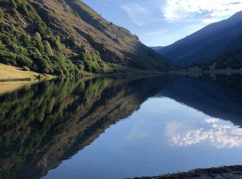
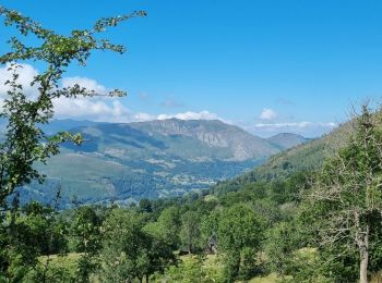
Senderismo


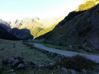
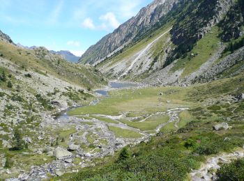
Senderismo
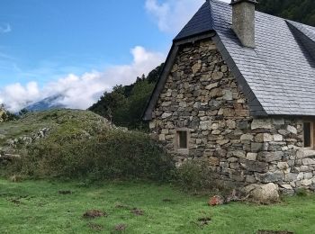
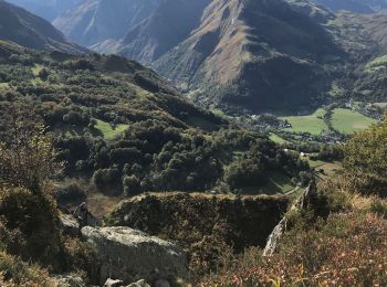
Senderismo
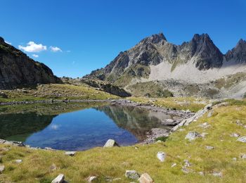
Senderismo
Senderismo
Senderismo
Senderismo
Senderismo
Senderismo
Senderismo
Senderismo
Senderismo
Senderismo
Senderismo
Senderismo
Senderismo
Senderismo
A pie
Senderismo
Senderismo
20 excursiones mostradas en 80
Aplicación GPS de excursión GRATIS
 SityTrail
IGN / Institutos geográficos
SityTrail World
El mundo es suyo