


7,7 km | 28 km-effort

Usuario


Aplicación GPS de excursión GRATIS
 SityTrail
IGN / Institutos geográficos
SityTrail World
El mundo es suyo
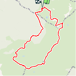
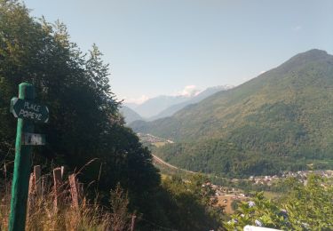
Ruta Senderismo de 10 km a descubrir en Auvergne-Rhône-Alpes, Saboya, Sainte-Hélène-sur-Isère. Esta ruta ha sido propuesta por tracegps.
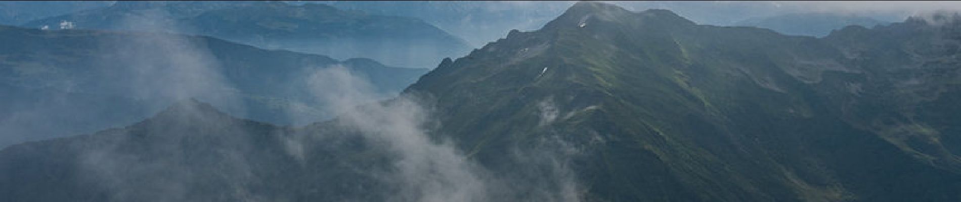
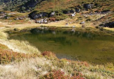
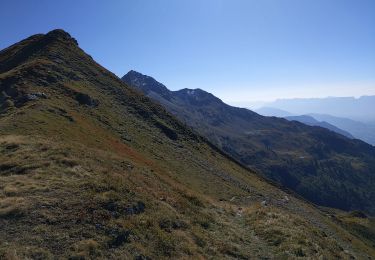
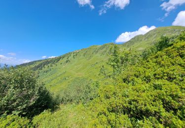
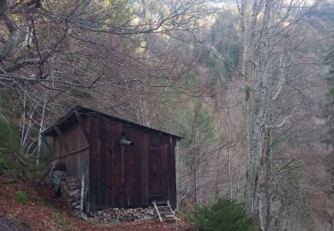
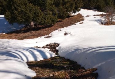
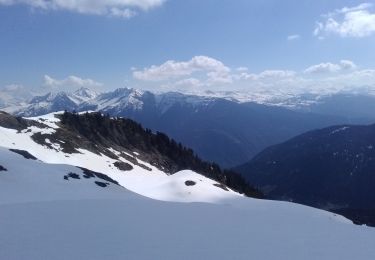
Massif du Grand-Arc - Lauzière. Le Grand Arc, isolé au confluent des vallées de l'Isère et de l'Arc, permet de randonner au cœur d'un paysage d'envergure. La vue qui s'étend du Mont Blanc jusqu'au Mont Aiguille permet un inventaire des massifs de la région et de leurs principaux sommets, Aravis, Bauges, Chaîne de la Lauzière, Belledonne, Chartreuse, Vercors, etc. Au départ du Chalet de la Tuile, la boucle parcourt un environnement exceptionnel et sauvage : long parcours d'arête aérienne du sommet de la Tuile jusqu'au Grand Arc ; traversée jusqu'au Petit Arc et superbe descente de son arête Nord Ouest ; cheminement aventureux méconnu jusqu'au chalet remis à neuf des Michelettes ; montée et traversée agréable en forêt pour retrouver le point de départ. Description complète sur sentier-nature.com : Le Grand Arc, 2484m Avertissement [Franchissement 2/5 ; Exposition 3/5 ; Orientation 2/5 ; Pénibilité 3/5]. Certains passages de cet itinéraire de montagne sont escarpés et/ou exposés, il est déconseillé aux enfants non accompagnés et aux personnes sujettes au vertige. Pour votre sécurité, nous vous invitons à respecter les règles suivantes : être bien chaussé, ne pas s'engager par mauvais temps, ne pas s'écarter de l'itinéraire ni des sentiers.


Senderismo
Senderismo
Senderismo
Senderismo
Senderismo
Senderismo
Esquí de fondo
Senderismo
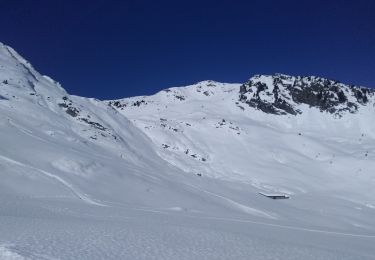
Esquí de fondo