


8,3 km | 10,5 km-effort

Usuario


Aplicación GPS de excursión GRATIS
 SityTrail
IGN / Institutos geográficos
SityTrail World
El mundo es suyo
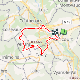
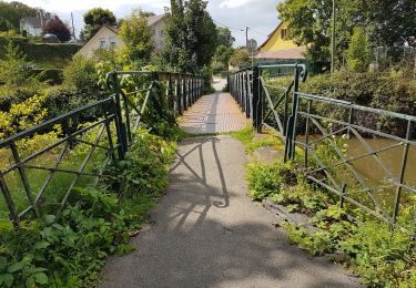
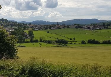
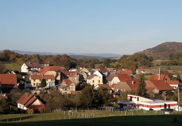
Ruta Senderismo de 12 km a descubrir en Borgoña-Franco Condado, Alto Saona, Héricourt. Esta ruta ha sido propuesta por tracegps.
Circuit proposé par La Communauté de communes du pays d'Héricourt. Départ de l'église d'Héricourt. Une belle randonnée dans la nature entre les monts et forêts à l’ouest d’Héricourt. Ce circuit est un des 16 circuits de la communauté de communes.


Senderismo
Senderismo
Senderismo
Senderismo
Senderismo
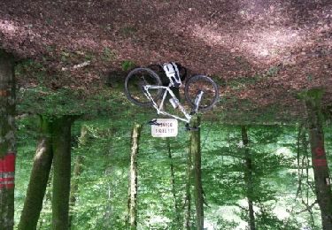
Bici de montaña
Bici de montaña
Senderismo
Senderismo
très bien
te