


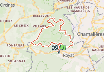

7,2 km | 9,3 km-effort

Usuario GUIDE


Aplicación GPS de excursión GRATIS
 SityTrail
IGN / Institutos geográficos
SityTrail World
El mundo es suyo
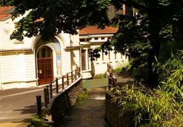
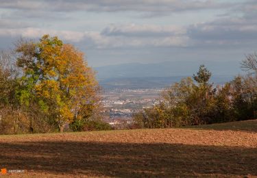
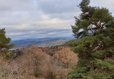
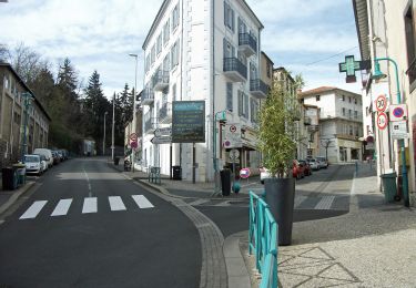
Ruta Senderismo de 8,5 km a descubrir en Auvergne-Rhône-Alpes, Puy-de-Dôme, Royat. Esta ruta ha sido propuesta por jagarnier.
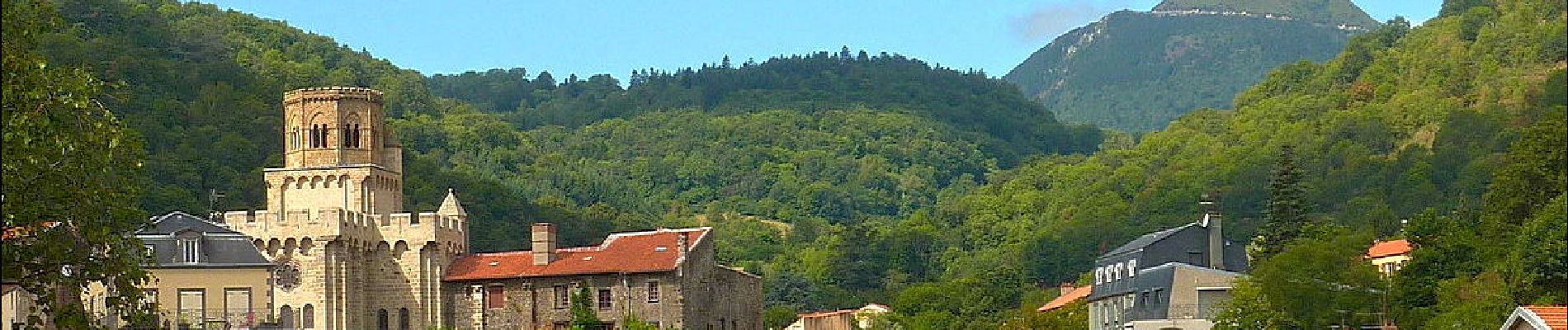
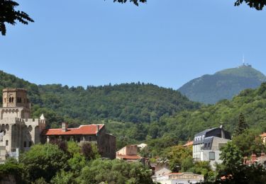
Cette randonnée emprunte un sentier de découverte de la forêt, le beau Chemin des Crêtes et une partie de la voie romaine qui reliait Lyon à Saintes.

Senderismo
Senderismo
Senderismo
Senderismo
Senderismo

Senderismo

Senderismo

Senderismo
A pie