


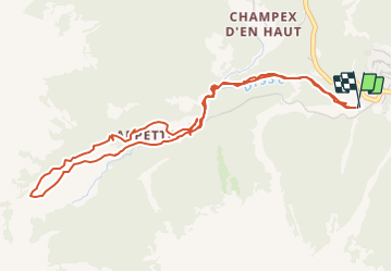

5,6 km | 8,8 km-effort


Usuario


Aplicación GPS de excursión GRATIS
 SityTrail
IGN / Institutos geográficos
SityTrail World
El mundo es suyo
Ruta Otra actividad de 5,7 km a descubrir en Vallés, Entremont, Orsières. Esta ruta ha sido propuesta por necira.
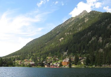
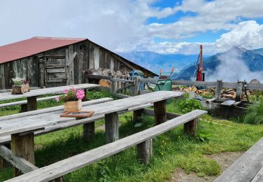
Sortie en famille
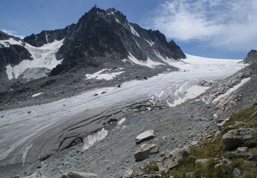
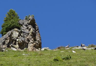
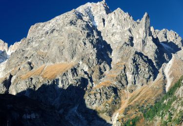
En saison on y trouve des Ancolies juste après le pont suspendu ainsi que du muguet juste après la Pointe de Cremin.
A pie
A pie

A pie
A pie
A pie
Senderismo
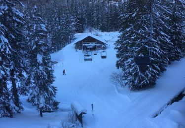
Raquetas de nieve

Senderismo

Senderismo