


7,1 km | 9,3 km-effort
Au Coeur de l'Ardenne Authentique - In het Hart van de Echte Ardennen GUIDE+


Aplicación GPS de excursión GRATIS
 SityTrail
IGN / Institutos geográficos
SityTrail World
El mundo es suyo
Ruta A pie de 6,4 km a descubrir en Valonia, Luxemburgo, Daverdisse. Esta ruta ha sido propuesta por Maison du Tourisme du Pays de Bouillon.
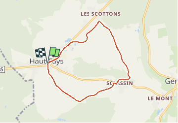
HF2 : Sclassin
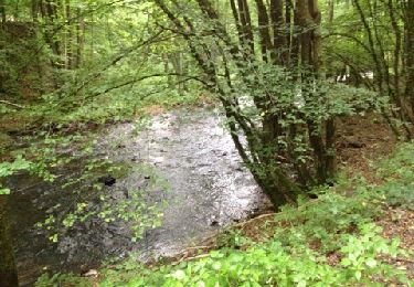
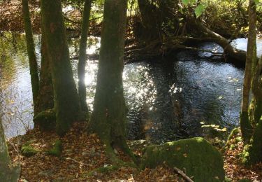
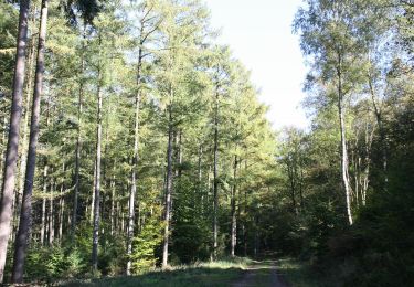
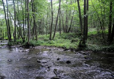
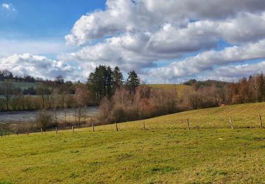
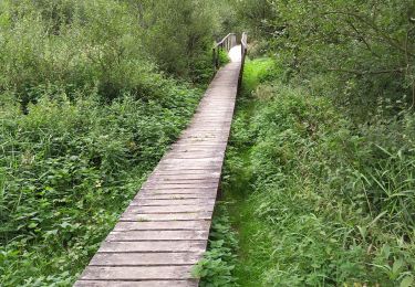
Petite promenade facile, (de faible longueur) reliant le village de Haut-Fays à son hameau Sclassin. Itinéraire à travers champs et village offrant de jolis paysages sur la campagne environnante.
_____________________
Een gemakkelijke, korte wandeling die het dorp Haut-Fays verbindt met het gehucht Sclassin. Route door de velden en het dorp met prachtige uitzichten op het omliggende platteland.


Senderismo

Senderismo
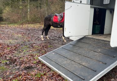
Paseo ecuestre
Senderismo
Senderismo
Senderismo
Senderismo
Senderismo
A pie
Merci à la maison du tourisme du pays de Bouillon.