


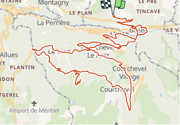

9,4 km | 13,8 km-effort


Usuario


Aplicación GPS de excursión GRATIS
 SityTrail
IGN / Institutos geográficos
SityTrail World
El mundo es suyo
Ruta Bici eléctrica de 41 km a descubrir en Auvergne-Rhône-Alpes, Saboya, Bozel. Esta ruta ha sido propuesta por franquen.
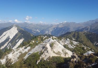
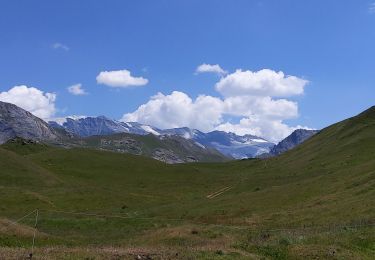
Jolie rando par des petits chemins offrant de très beaux paysages bucoliques avec vue panoramique,
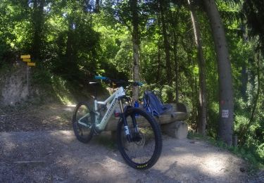
Bici de montaña

Senderismo
Senderismo
Senderismo
Senderismo
Senderismo
Senderismo
Senderismo
Senderismo