


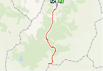


11 km | 19,3 km-effort

Usuario GUIDE


Aplicación GPS de excursión GRATIS
 SityTrail
IGN / Institutos geográficos
SityTrail World
El mundo es suyo
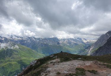
Ruta Senderismo de 17 km a descubrir en Auvergne-Rhône-Alpes, Saboya, Pralognan-la-Vanoise. Esta ruta ha sido propuesta por amiral13.
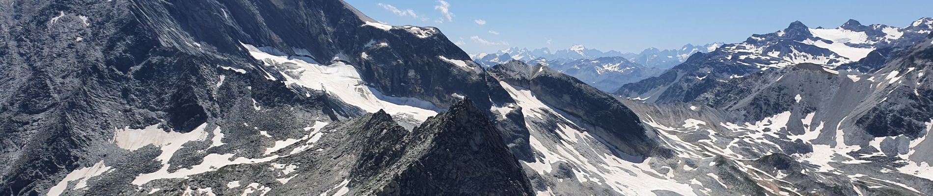
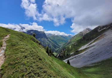
Un magnifique belvédère du massif du Mont Blanc à celui des écrins lorsque le temps est dégagé.
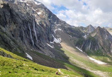
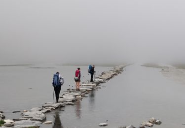
Attention il s'agit d'une randonnée assez longue et avec une dénivelée conséquente.
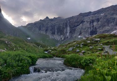
D'autre part, sur les 300 ou 400 derniers mètres de dénivelée avant le col le sentier est plus difficile et l'on peut y rencontrer des névés jusqu'à la fin juillet.
Pour finir, les 20 ou 30 mètres de dénivelée de la pointe de l'observatoire se compose d'une escalade facile, mais où il faut rester prudent.


23 fotos en total. Haga clic en una foto para mostrarlas todas en la galería.
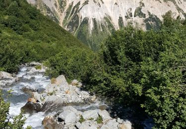
Senderismo
Senderismo
Senderismo
Senderismo
Senderismo
Senderismo
Senderismo

Senderismo
Senderismo