


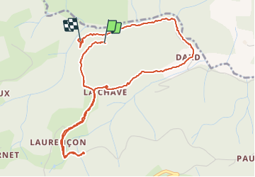

6,8 km | 10,1 km-effort


Usuario


Aplicación GPS de excursión GRATIS
 SityTrail
IGN / Institutos geográficos
SityTrail World
El mundo es suyo
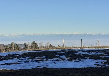
Ruta Senderismo de 5,9 km a descubrir en Auvergne-Rhône-Alpes, Ardecha, Saint-Jeure-d'Andaure. Esta ruta ha sido propuesta por Atchoum26.
Rando sympa tranquille

Senderismo
Senderismo
Senderismo
Senderismo
Senderismo

Senderismo

Senderismo

Senderismo
Senderismo