


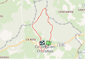

19,4 km | 26 km-effort


GRS MONTCEAU LES MINES


Aplicación GPS de excursión GRATIS
 SityTrail
IGN / Institutos geográficos
SityTrail World
El mundo es suyo
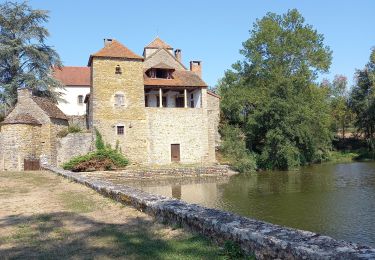
Ruta A pie de 6,1 km a descubrir en Borgoña-Franco Condado, Saona y Loira, Collonge-en-Charollais. Esta ruta ha sido propuesta por GRS MONTCEAU LES MINES.
Peu de difficultés
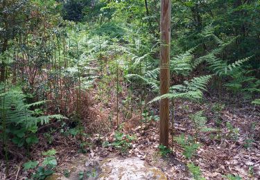
Senderismo
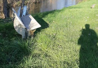
Senderismo

Senderismo
Senderismo
Senderismo

Senderismo
Senderismo
Senderismo
Senderismo