


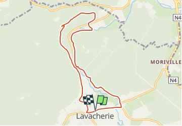


12,3 km | 15,8 km-effort
Randonnées de la Grande Forêt de Saint-Hubert GUIDE+


Aplicación GPS de excursión GRATIS
 SityTrail
IGN / Institutos geográficos
SityTrail World
El mundo es suyo
Ruta Senderismo de 7,7 km a descubrir en Valonia, Luxemburgo, Sainte-Ode. Esta ruta ha sido propuesta por La Grande Forêt de Saint-Hubert.
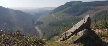
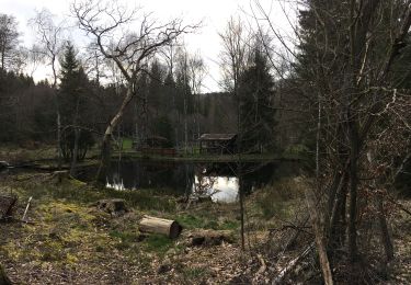
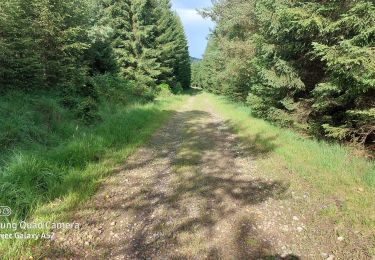
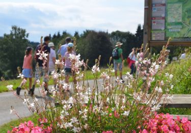
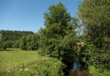
Cette promenade principalement forestière part du village de Lavacherie, non loin de l'ancienne voie du tram, et vous emmène à la Chapelle de la Bonne Dame, vous offrant à la fois une très belle vue panoramique sur la vallée et ensuite un tracé en forêt longeant l'Ourthe (possibilité d'observer des traces de castors). Un des itinéraires proposés dans la commune, à près de 500 m d'altitude.
Itinéraire repris sur la carte IGN des promenades de Sainte-Ode (1:25 000) vendue à 8,00 €.
Concepteur: Syndicat d'Initiative de Sainte-Ode.
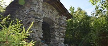
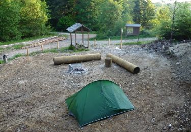
 - Photo 1")
 - Photo 2")
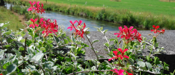
 - Photo 3")
 - Photo 4")
 - Photo 5")
 - Photo 6")
Senderismo

Senderismo

Senderismo

Senderismo

Senderismo
A pie
A pie
Senderismo
Senderismo