


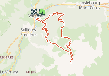

22 km | 37 km-effort

Usuario


Aplicación GPS de excursión GRATIS
 SityTrail
IGN / Institutos geográficos
SityTrail World
El mundo es suyo
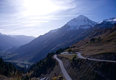
Ruta Esquí de fondo de 19,2 km a descubrir en Auvergne-Rhône-Alpes, Saboya, Val-Cenis. Esta ruta ha sido propuesta por nadd73.
Départ de Termignon, téléski des Tannes.
Passage à le Porteille.
c'est assez long. On peut monter au Montfroid.
Descente sur les pistes de Termignon (car neige croutée), il faut remonter de 100m de dénivelé.


Senderismo
A pie
A pie
Senderismo
Senderismo
Senderismo
Senderismo
Senderismo
Senderismo