


13,1 km | 14,2 km-effort


Usuario


Aplicación GPS de excursión GRATIS
 SityTrail
IGN / Institutos geográficos
SityTrail World
El mundo es suyo
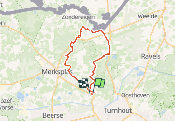
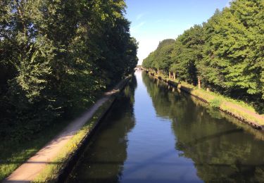
Ruta Senderismo de 23 km a descubrir en Flandes, Amberes, Turnhout. Esta ruta ha sido propuesta por LucThomaere.
Vertrekken van op de parking van de begraafplaats van Turnhout. Lange, open wandeling langs boerderijen, weiden en akkers. Weinig bos, veel panorama's.
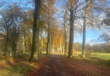
Senderismo
Senderismo
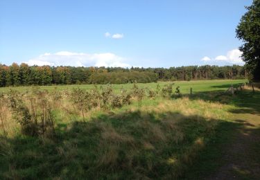
Senderismo
Senderismo

Senderismo

Motor
Motor
Motor
Motor