


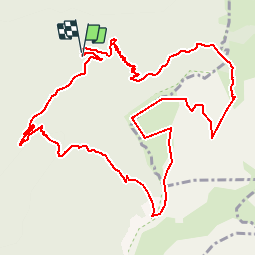

13,7 km | 21 km-effort


Usuario


Aplicación GPS de excursión GRATIS
 SityTrail
IGN / Institutos geográficos
SityTrail World
El mundo es suyo
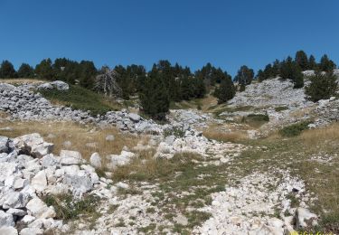
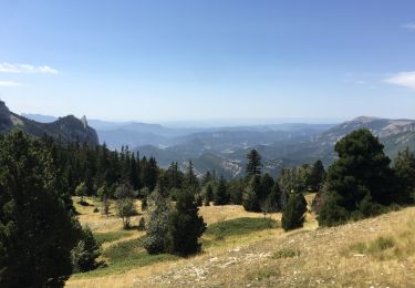
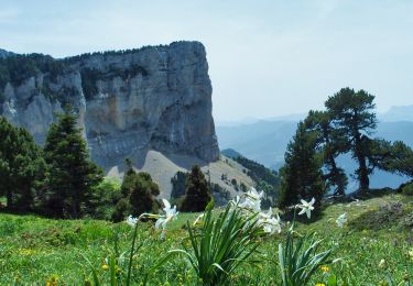
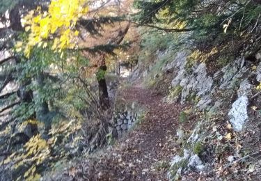
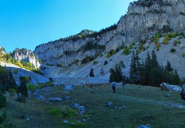
Ruta Senderismo de 14,2 km a descubrir en Auvergne-Rhône-Alpes, Drôme, Romeyer. Esta ruta ha sido propuesta por bymarc26.
depuis la maison forest de romeyer montée aux ruines de la jasse de la ville et rdescente par le col du pison
Senderismo

Senderismo
Senderismo
Senderismo

Raquetas de nieve
Senderismo
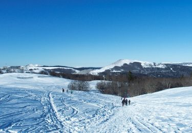
Raquetas de nieve
Senderismo
Senderismo