


33 km | 40 km-effort


Usuario


Aplicación GPS de excursión GRATIS
 SityTrail
IGN / Institutos geográficos
SityTrail World
El mundo es suyo
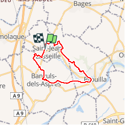
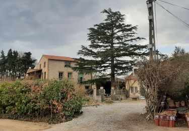
Ruta Senderismo de 12,2 km a descubrir en Occitania, Pirineos Orientales, Saint-Jean-Lasseille. Esta ruta ha sido propuesta por jeff66.
ST-JEAN-LASSEILLE 66 - chateau Montana - par les vignes - Banyuls dels Aspres - église St André - place de la République - cave Coop - vue sur les Albères - Brouilla par la plaine et le vignoble - passages à gué - école - salle polyvalente - cimetière - vue sur brouilla la plaine les Albères - panorama sur Perpignan - chateau Planères - St jean lasseille - cimetière


Quad

Senderismo

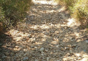
Senderismo

Senderismo
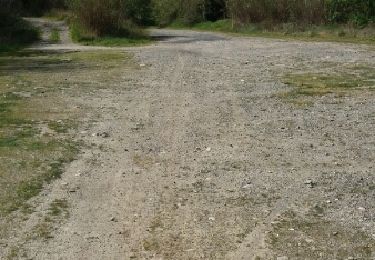
Senderismo
Senderismo
Senderismo
Senderismo
Otra actividad