


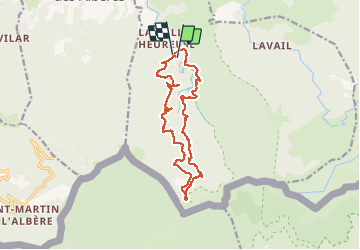


11,2 km | 15,3 km-effort

Usuario


Aplicación GPS de excursión GRATIS
 SityTrail
IGN / Institutos geográficos
SityTrail World
El mundo es suyo
Ruta Senderismo de 17,1 km a descubrir en Occitania, Pirineos Orientales, Sorède. Esta ruta ha sido propuesta por jeff66.
66 SOREDE - la vallée heureuse - Piste DFCI AL31 - Correc de la Sagueda - la Jaça del Taure - chapelle ruinée Santa Maria Magdalena - Correc de la Tanyareda - collada de Llori - gorges du Tassio - collada de l'Espinas


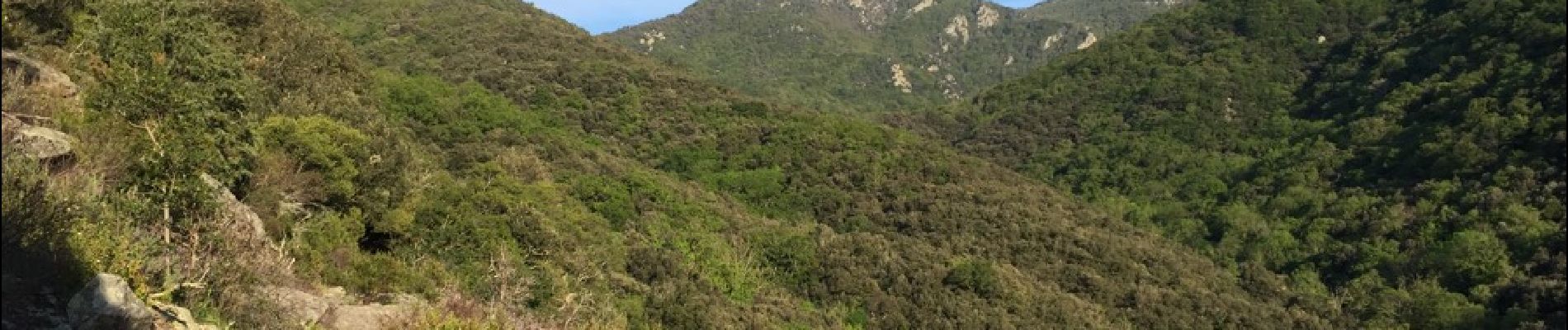
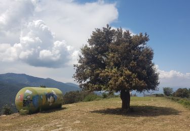
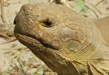
30 fotos en total. Haga clic en una foto para mostrarlas todas en la galería.

Senderismo

Senderismo

Senderismo
Senderismo

Senderismo
A pie

Senderismo
Senderismo
Senderismo