


11,4 km | 20 km-effort
Chamrousse : découvrez les meilleures randonnées : 1 a pied, 102 marche, 6 marche nordique, 2 course à pied et 2 trail. Tous ces circuits, parcours, itinéraires et activités en plein air sont disponibles dans nos applications SityTrail pour smartphones et tablettes.
Marche


• La randonnée débute à Roche Béranger (Chamrousse) au pied du télésiège Bachat Bouloud. Prendre la direction de Chamro...

Marche
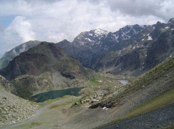
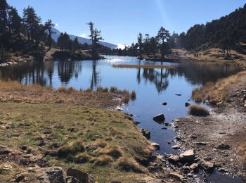
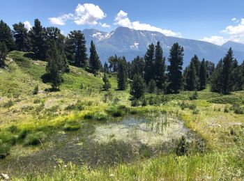
• tour de lacs Robert chamrousse belldonne
Marche
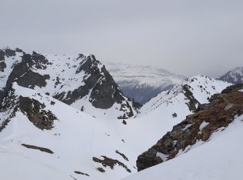
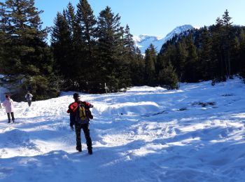
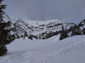
• Boucle en raquettes pour la Croix de Chamrousse à partir de l'Arselle et en passant par le Lac Achard (itinéraires ba...
Marche
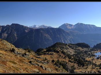
• Belle boucle automnale vers le sommet de la Croix de Chamrousse. Visite des lacs du coin et un beau panorama, même s...
Marche
• Classique Aller/Retour à la Croix de Chamrousse en raquettes (circuit balisé n°5 en saison) cette fois en empruntant ...
Marche
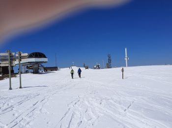
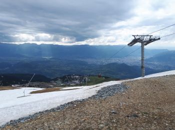
• Départ Télécabine Croix de la Croix de Chamrousse
Marche
• Par brèches N&S
Marche
• Difficile parce que chemins gelés sinon belles photos
Marche
• petite rando très facile
Marche
• trop de neige le 24 mai 2018..un peu galère...
Marche
Marche
Marche
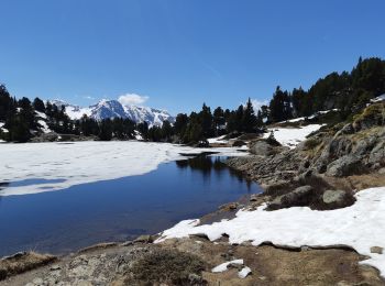
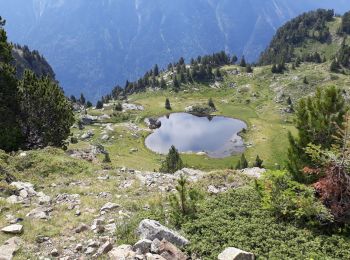
• lac achard
Marche
Marche
• monte par lac Achard aux Vans ( petit et grand ) decente pour la Croix de Chamrousse
Marche
Marche

Marche
• Boucle on ne peut plus classique pour le Lac Achard en raquettes et en partant de Bachat Bouloud mais avec un petit d...
Marche
• Boucle très classique pour le lac Achard au départ du parc nordique de l'Arselle par le circuit raquettes n°4. La 1èr...
Marche
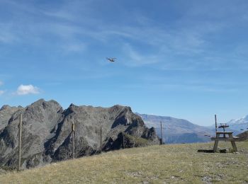
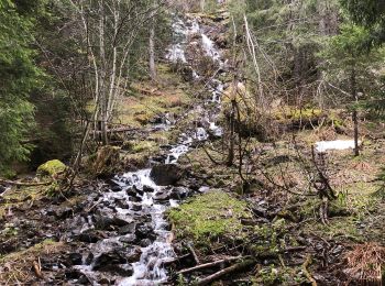
• Boucle par la Croix de Chamrousse en passant par les cols de la Botte et de l'Infernet. La montée régulière passe dan...
20 randonnées affichées sur 112
Application GPS de randonnée GRATUITE
 SityTrail
IGN / Instituts géographiques
SityTrail World
Le monde est à vous