


10,2 km | 14,6 km-effort
Jarrie : découvrez les meilleures randonnées : 2 a pied, 39 marche et 14 marche nordique. Tous ces circuits, parcours, itinéraires et activités en plein air sont disponibles dans nos applications SityTrail pour smartphones et tablettes.
Marche nordique


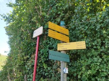
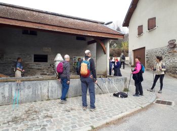
• départ l'église
Marche nordique
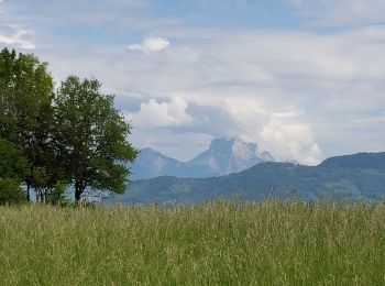
• Une très belle boucle pour pratiquer la Marche Nordique.
Marche
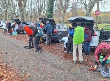
• départ parking du cimetière route de l'église. 4h30 de marche un peu long....
Marche
Marche nordique
• Une remontée sur la fin assez raide peu compatible avec la MN à éviter la prochaine fois en coupant avant. Sinon de b...
Marche nordique
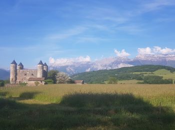
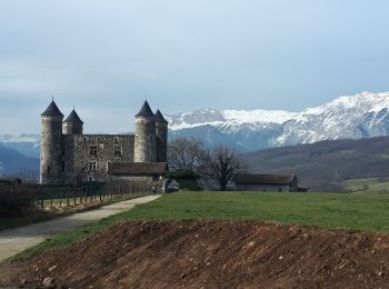
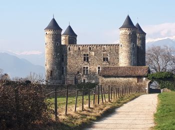
• Une marche nordique qui permet de découvrir le château de Bon Repas et le Clos Jouvin avec son parc et ses arbres rem...
Marche nordique
• La variante dans la partie inférieure sous le Saut du Moine n'est pas très intéressante et raide. A éviter. Mieux vau...
Marche
• Autour de Montchabout
Marche nordique
• Dans cette variante, au lieu de finir par la route, on passe le long d'un champ, sur un chemin présent sur la carte, ...
Marche nordique
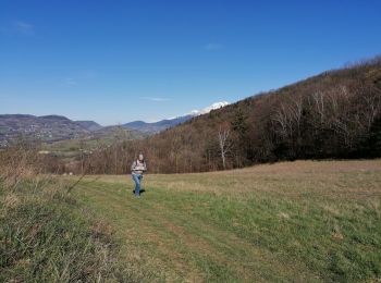
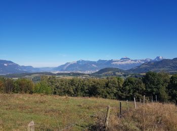
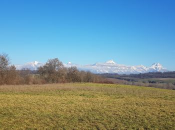
• Très belles vues sur le Vercors, la Chartreuse, et Belledonne. 30/01/2022: A l'extrémité Nord, avant Chateau Neuf, pl...

Marche
• château bonrepos
Marche
• facile, 16km ,680m dénivelé
Marche nordique
Marche
• en boucle

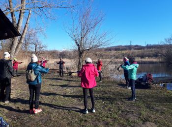
Marche nordique
• Belle boucle très ombragée.
Marche nordique
Marche
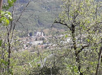
• Jonction de la gare de Vizille au démarrage de la traversée du Massif de belledonne.
Marche
Marche
Marche
20 randonnées affichées sur 55
Application GPS de randonnée GRATUITE
 SityTrail
IGN / Instituts géographiques
SityTrail World
Le monde est à vous