


15,3 km | 28 km-effort
Aulus-les-Bains : découvrez les meilleures randonnées : 3 a pied, 102 marche et 1 trail. Tous ces circuits, parcours, itinéraires et activités en plein air sont disponibles dans nos applications SityTrail pour smartphones et tablettes.
Marche


• marche
Marche
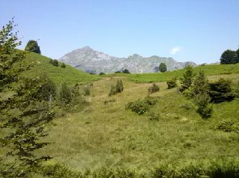
• Grand comme trois fois la ville de Paris, le Haut-Couserans se situe au coeur des Pyrénées Ariègeoises à 1h30 de Toul...
Marche
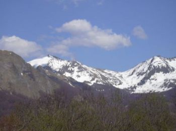
• Grand comme trois fois la ville de Paris, le Haut-Couserans se situe au coeur des Pyrénées Ariègeoises à 1h30 de Toul...
Marche
• Grand comme trois fois la ville de Paris, le Haut-Couserans se situe au coeur des Pyrénées Ariègeoises à 1h30 de Toul...

Marche
• Couserans - GR10
Marche
• Grand comme trois fois la ville de Paris, le Haut-Couserans se situe au coeur des Pyrénées Ariègeoises à 1h30 de Toul...
Marche
• Aulus Les Bains/Marc
Marche
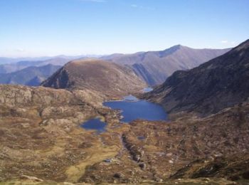
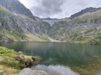
• préservez l'intimité des bergers (ici, un couple) : n'approcher pas de leur abri-pastoral au fond du lac à gauche : ...
A pied
Marche
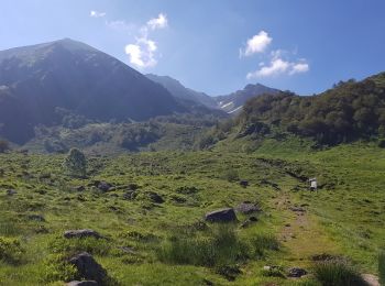
• Boucle pour le Pic de Gérentos ou du Mont Ceint. Départ au-dessus du Bois des Plagnolles en suivant le GR 10 jusqu’au...
Marche
• Cette belle boucle exigeante commence dans Aulus-les-Bains par la stèle qui commémore les exactions subies par les ré...

Marche
• marche
Marche
Marche
Marche

Marche
Marche

Marche
Marche
Marche
20 randonnées affichées sur 106
Application GPS de randonnée GRATUITE
 SityTrail
IGN / Instituts géographiques
SityTrail World
Le monde est à vous