


15,2 km | 19 km-effort
Faux-la-Montagne : découvrez les meilleures randonnées : 11 marche et 1 marche nordique. Tous ces circuits, parcours, itinéraires et activités en plein air sont disponibles dans nos applications SityTrail pour smartphones et tablettes.
Marche


• rando en boucle avec le tour du lac
Marche
• Boucle à travers Landes et forêts.

Marche
• Promenade très tranquille
Marche
• Parcours facile autour d'un lac peu aménagé. Peu de route, partiellement balisé.praticable en tout temps.
Marche
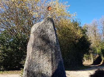
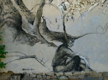
•
Marche

Marche nordique
Marche
Marche
Marche
Marche
Marche
12 randonnées affichées sur 12
Application GPS de randonnée GRATUITE
 SityTrail
IGN / Instituts géographiques
SityTrail World
Le monde est à vous