


3,2 km | 5,4 km-effort
Landkreis Garmisch-Partenkirchen : découvrez les meilleures randonnées : 28 pédestres et 1 à vélo ou VTT. Tous ces circuits, parcours, itinéraires et activités en plein air sont disponibles dans nos applications SityTrail pour smartphones et tablettes.
A pied


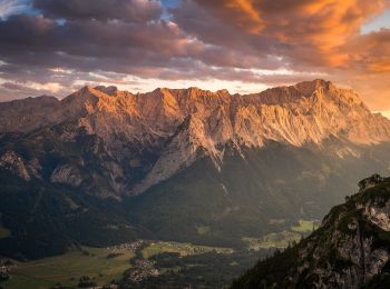
• Randonnée créée par Gemeinde Grainau.
A pied
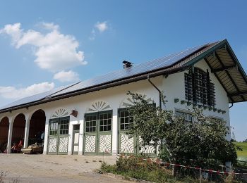
• Randonnée créée par Blaues Land.
A pied
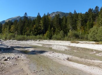
• Symbole: Rote Punkte
A pied
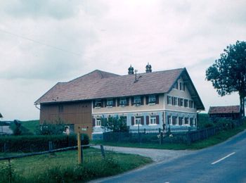
• Randonnée créée par Fremdenverkehrsamt Murnau. Symbole: grünes Schild "Moosrundweg Nr. 5"
A pied
• Randonnée créée par Blaues Land. Symbole: blaue 9 in schwarzem Kreis
A pied
A pied
A pied
A pied
A pied
A pied
A pied
Marche
•
Marche
•
Marche
•

A pied
• Randonnée créée par Blaues Land. Symbole: blauer Wanderer auf weißem Grund
A pied
• Randonnée créée par Blaues Land. Symbole: blauer Wanderer auf weißem Grund
A pied
• Randonnée créée par Blaues Land. Symbole: Blauer Wanderer auf weißem Grund
A pied
A pied
20 randonnées affichées sur 30
Application GPS de randonnée GRATUITE
 SityTrail
IGN / Instituts géographiques
SityTrail World
Le monde est à vous