


9 km | 25 km-effort
Bagnères-de-Bigorre : découvrez les meilleures randonnées : 176 pédestres et 19 à vélo ou VTT. Tous ces circuits, parcours, itinéraires et activités en plein air sont disponibles dans nos applications SityTrail pour smartphones et tablettes.
Marche


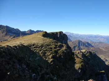
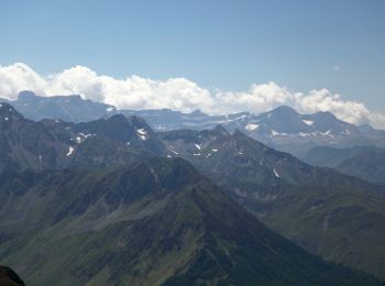
• Le pic de Montaigu avec ses 2339m domine l'ensemble du secteur ; il mériterait d'être plus fréquenté...
Marche
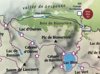
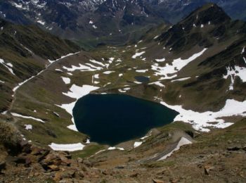
• Lac Bleu 1968m et Pic de Bizourtère en circuit en passant par le col de Bareille (1200m de dénivelé) Très belle rando...
Marche
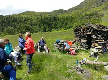
• Possibilité de départ du parking du Chiroulet (600m de goudron avant d'atteindre le petit parking d départ effectif d...

Marche
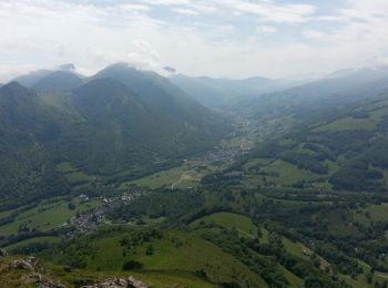
• BAGNERES DE BIGORRE - GERMS
Marche
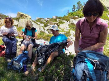
• Super randonnée un peu difficile que du bonheur
V.T.T.
• Randonnée très dure même avec un électrique, un peu de marche quelques fois
Marche
• Beau circuit et beaux panoramas. Sur le sentier vers le col de Bareille, on a bifurqué mais trop à droite... il faut ...
Marche
A pied
Marche
• tout plein de chaos et rocailleux.
Marche
• Qui n'a pas vu depuis la plaine de Tarbes la silhouette du pic du Midi de Bigorre surmonté de ses installations scien...
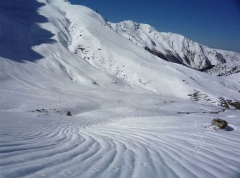
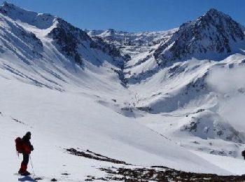
Raquettes à neige
• Départ du virage du Garet après Artigues sur la route de La Mongie. Montée sévère d'entrée pour aboutir au plateau du...
Marche
• Cette boucle propose un circuit relativement classique pour découvrir le Cap de Labasset et le lac de Peyrelade depui...
Marche
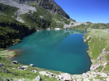
• Si la randonnée au lac Bleu depuis le parking du Chiroulet est une grande classique, la poursuite vers le Pic de Merl...
Marche
• grand tour croix de manse
Raquettes à neige
• Départ depuis le virage du Garet sur la route de La Mongie. On passe d'abord par le Pla de Garet pour monter ensuite ...
Marche
• Départ sur la D918 à 3 km à l’est de la Mongie par le GR10C, pour une première série de lacs: Réservoir des Laquets, ...
Marche
• Qui n'a pas vu depuis la plaine de Tarbes la silhouette du pic du Midi de Bigorre surmonté de ses installations scien...
Marche
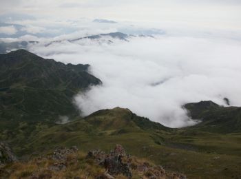
• Brouillard pluie et beau
Marche
20 randonnées affichées sur 236
Application GPS de randonnée GRATUITE
 SityTrail
IGN / Instituts géographiques
SityTrail World
Le monde est à vous