


4,6 km | 5,3 km-effort
Montauban : découvrez les meilleures randonnées : 15 pédestres et 35 à vélo ou VTT. Tous ces circuits, parcours, itinéraires et activités en plein air sont disponibles dans nos applications SityTrail pour smartphones et tablettes.
Marche


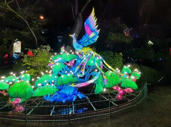
• fête des lanpions
V.T.C.
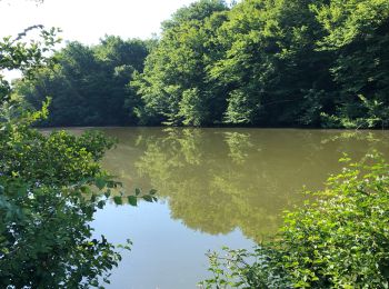
• Routes, chemins, sentiers,étangs.
V.T.C.
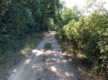
• Routes, chemin 1km env.

Marche nordique

Cyclotourisme
• Etape 6 sur le canal de la Garonne
Vélo électrique
• Vallons du Fau
Vélo électrique
Vélo électrique
• Routes et chemins

Marche
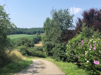
• Jolie rando entre forets, cultures, vergers, résidences, par moment, il y a de belles vues sur la plaine, beaucoup de...
Marche
• avec 5 enfants
Marche

Course à pied

 34.287
sport
34.287
sport
Course à pied
Course à pied
Course à pied
Course à pied
Vélo électrique
Cyclotourisme
20 randonnées affichées sur 53
Application GPS de randonnée GRATUITE
 SityTrail
IGN / Instituts géographiques
SityTrail World
Le monde est à vous