


9,4 km | 10,1 km-effort
Bourges : découvrez les meilleures randonnées : 15 pédestres et 7 à vélo ou VTT. Tous ces circuits, parcours, itinéraires et activités en plein air sont disponibles dans nos applications SityTrail pour smartphones et tablettes.

Marche


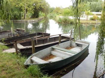
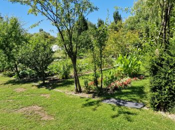
• Grand tour du marais
Marche
V.T.T.
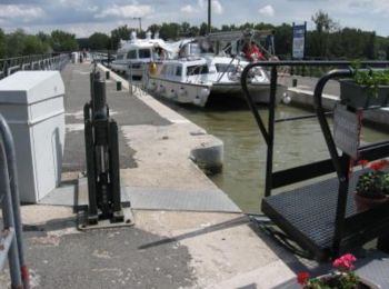
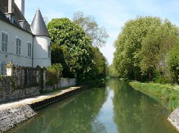
• Découverte du canal de Berry, traversée du champ de tir avec ses chevreuils et sangliers.(IMPORTANT:Consulter son acc...
Marche
• PR BOURGES CAF
Marche
Marche
V.T.T.
• Joli circuit, peu de relief. Quelques kilomètres sur petites routes goudronnées. Accessible à tous.

Marche
• Joli circuit, peu de relief. Quelques kilomètres sur petites routes goudronnées. Accessible à tous.
V.T.T.
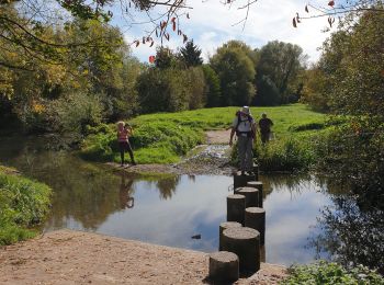
• Un circuit agréable avec plus de 90% de chemin, très peu de goudron. Passage par les canaux et les chemins.

Marche
• Marais de Bourges
V.T.T.
Marche
• 2013
Marche
•
Marche
• Chemin de Vézelay

 22.19
22.19
sport
22.586
sport

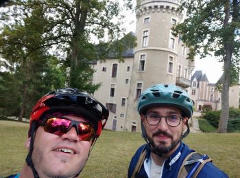
Vélo de route
Cyclotourisme
Marche
V.T.T.
20 randonnées affichées sur 24
Application GPS de randonnée GRATUITE
 SityTrail
IGN / Instituts géographiques
SityTrail World
Le monde est à vous