


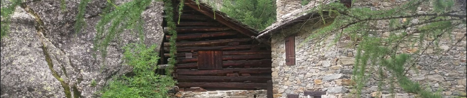
180721 aoste valnontey . ponte erfaulets A-R

stef789
Utilisateur GUIDE


Longueur
10,4 km

Altitude max
1859 m

Dénivelé positif
209 m
Km-Effort
13,1 km

Altitude min
1663 m

Dénivelé négatif
206 m
Boucle
Oui
Date de création :
2019-01-15 13:20:05.839
Dernière modification :
2019-01-15 13:20:05.839
3h00
Difficulté : Facile

Application GPS de randonnée GRATUITE
 SityTrail
IGN / Instituts géographiques
SityTrail Plus
Le monde est à vous
À propos
Randonnée Marche de 10,4 km à découvrir à Vallée d'Aoste, Inconnu, Cogne. Cette randonnée est proposée par stef789.
Photos


Localisation
Pays :
Italie
Région :
Vallée d'Aoste
Département/Province :
Inconnu
Commune :
Cogne
Localité :
Unknown
Départ:(Dec)
Départ:(UTM)
370559 ; 5049470 (32T) N.
Commentaires