


12,2 km | 14,2 km-effort


Utilisateur


Application GPS de randonnée GRATUITE
 SityTrail
IGN / Instituts géographiques
SityTrail World
Le monde est à vous
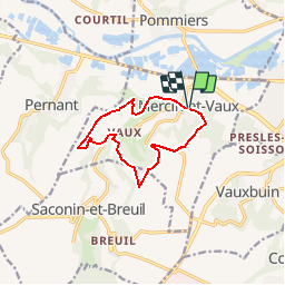
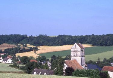
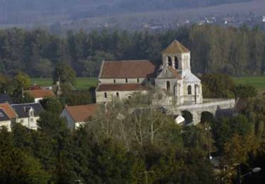
Randonnée Marche de 9,3 km à découvrir à Hauts-de-France, Aisne, Mercin-et-Vaux. Cette randonnée est proposée par tracegps.
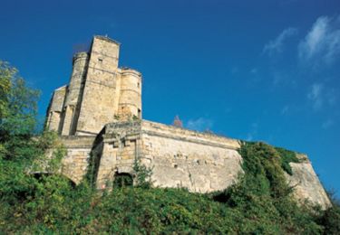
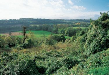
Mercin-et-Vaux, village typique du Soissonnais, est le point de départ de ce circuit qui enchaîne les montées et les descentes, dévalant de plateaux limoneux, domaines de la grande agriculture, en fonds de vallons et grimpant vers de beaux points de vue sur la vallée de l'Aisne, jusqu'à Soissons. Toutes les infos sont ICI


Marche
Vélo
Marche
Marche
V.T.T.
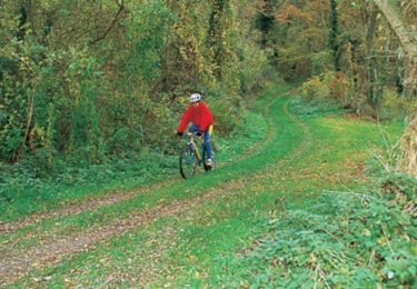
V.T.T.
V.T.T.
Marche
Marche