


11,6 km | 13,1 km-effort


Utilisateur


Application GPS de randonnée GRATUITE
 SityTrail
IGN / Instituts géographiques
SityTrail World
Le monde est à vous
Randonnée Marche de 13,2 km à découvrir à Hauts-de-France, Nord, Salesches. Cette randonnée est proposée par tracegps.
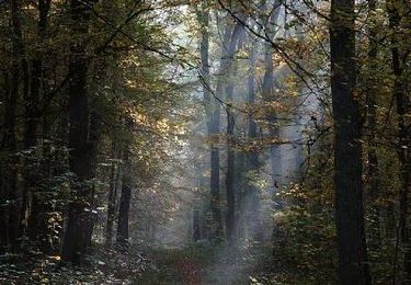
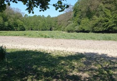
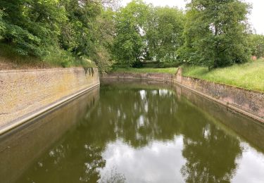
Circuit proposé par le Comité Départemental du Tourisme du Nord. Départ de Salesches, place Roger Salengro. Le parcours de 13 km s'adresse au promeneur averti tandis que la version courte rejoint 25 autres balades au sein d'un topo-guide intitulé "A pied en famille dans le Nord" édité par la FFRP. Ils empruntent "caches", sentiers bocagers reliant les bourgs aux pâtures, des chemins agricoles et des routes tranquilles. Retrouvez cette randonnée sur le site du Comité Départemental du Tourisme du Nord.
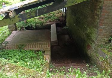
 - Photo 1")
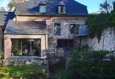
 - Photo 2")
Marche
Marche
Marche

Marche
Marche
Marche
Marche
Marche
Marche