

Chapelle de Notre Dame du Carla - Lagrasse

tracegps
Utilisateur

Longueur
14,4 km

Altitude max
323 m

Dénivelé positif
363 m

Km-Effort
19,2 km

Altitude min
132 m

Dénivelé négatif
363 m
Boucle
Oui
Date de création :
2014-12-10 00:00:00.0
Dernière modification :
2014-12-10 00:00:00.0
5h30
Difficulté : Moyen

Application GPS de randonnée GRATUITE
À propos
Randonnée Marche de 14,4 km à découvrir à Occitanie, Aude, Lagrasse. Cette randonnée est proposée par tracegps.
Description
Une boucle entre la Métairie de Saint Auriol et Lagrasse en passant par la charmante Chapelle de Notre Dame du Carla dans les paysages sauvages des Corbières.
Localisation
Pays :
France
Région :
Occitanie
Département/Province :
Aude
Commune :
Lagrasse
Localité :
Unknown
Départ:(Dec)
Départ:(UTM)
466649 ; 4768407 (31T) N.
Commentaires
Randonnées à proximité
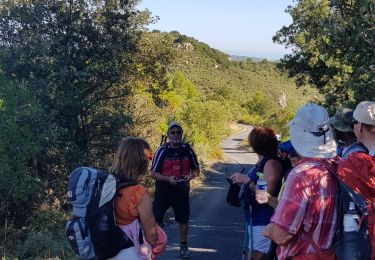
le Mont Major


Marche
Moyen
Saint-Pierre-des-Champs,
Occitanie,
Aude,
France

14,3 km | 19,7 km-effort
5h 2min
Oui
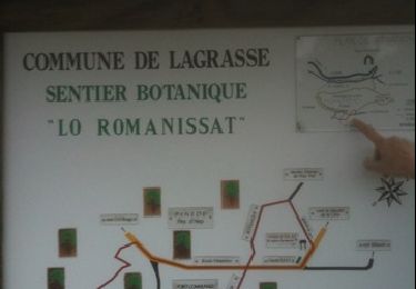
Le pied de Charlemagne


Marche
Très facile
Lagrasse,
Occitanie,
Aude,
France

6,4 km | 8,9 km-effort
2h 3min
Oui
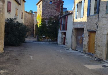
balade centre médiéval de lagrasse


Marche
Facile
Lagrasse,
Occitanie,
Aude,
France

2,7 km | 3 km-effort
1h 3min
Oui
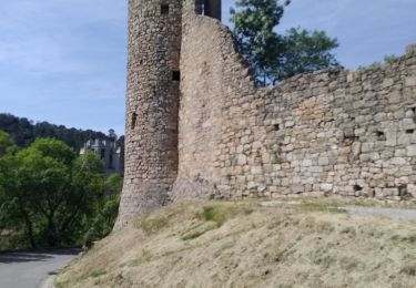
Lagrasse - Sainte Carla - forêt


Marche
Difficile
Lagrasse,
Occitanie,
Aude,
France

21 km | 29 km-effort
4h 43min
Oui
balade mont major


Marche
Très facile
Saint-Pierre-des-Champs,
Occitanie,
Aude,
France

14,4 km | 20 km-effort
4h 51min
Oui

11_lagrasse_ouest


Marche
Très difficile
Lagrasse,
Occitanie,
Aude,
France

14,5 km | 19,5 km-effort
4h 25min
Oui


Le pied de Charlemagne BF Rando - IBP 24


Marche
Facile
(1)
Lagrasse,
Occitanie,
Aude,
France

3,5 km | 5,2 km-effort
1h 11min
Oui

Notre Dame du Carla à Lagrasse


Marche
Moyen
Lagrasse,
Occitanie,
Aude,
France

11 km | 15,1 km-effort
4h 0min
Oui


 SityTrail


Nous marchons sur la route, les derniers kilomètres de la rando, dommage, hormis cet inconvénient, la rando est sympa