


 13.90km - Photo 21")
 13.90km - Photo 22")
 13.90km - Photo 23")
 13.90km - Photo 24")
 13.90km - Photo 25")
 13.90km - Photo 26")
 13.90km - Photo 27")


9,9 km | 14,2 km-effort


Utilisateur


Application GPS de randonnée GRATUITE
 SityTrail
IGN / Instituts géographiques
SityTrail World
Le monde est à vous
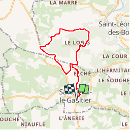
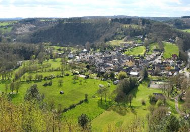
Randonnée Marche de 13,9 km à découvrir à Pays de la Loire, Sarthe, Saint-Paul-le-Gaultier. Cette randonnée est proposée par Marie-Claire-mcp.
Départ des étangs de St Paul le Gaultier, puis remontée la rue du Bief et tourner à l'église. Monter vers le Biché, puis la croix rousse, la plardière puis les chapronnières et contourner le bois de Chemasson par les maisonnettes et Villeneuve, redescendre par la Talbotière et reprendre le même chemin qu'à l'aller.
 13.90km - Photo 1")
 13.90km - Photo 2")
 13.90km - Photo 3")
 13.90km - Photo 4")
 13.90km - Photo 5")
 13.90km - Photo 6")
 13.90km - Photo 7")
 13.90km - Photo 8")
 13.90km - Photo 9")
 13.90km - Photo 10")
 13.90km - Photo 11")
 13.90km - Photo 12")
 13.90km - Photo 13")
 13.90km - Photo 14")
 13.90km - Photo 15")
 13.90km - Photo 16")
 13.90km - Photo 17")
 13.90km - Photo 18")
 13.90km - Photo 19")
 13.90km - Photo 20")
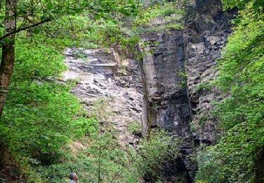
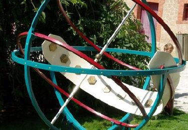
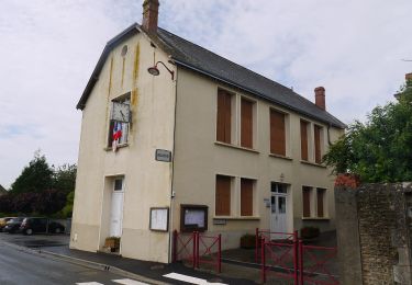
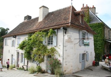
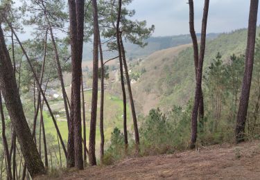
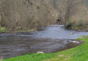
27 photos au total. Cliquez sur une photo pour les afficher toutes dans la galerie.
V.T.T.
V.T.T.
A pied
A pied
A pied

Marche
Marche
Marche

Marche