


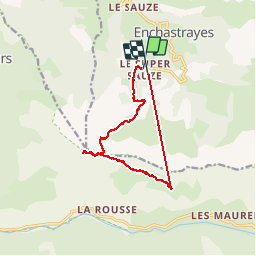


18,7 km | 28 km-effort


Utilisateur


Application GPS de randonnée GRATUITE
 SityTrail
IGN / Instituts géographiques
SityTrail World
Le monde est à vous
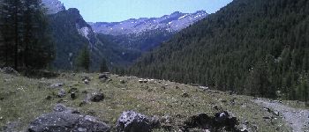
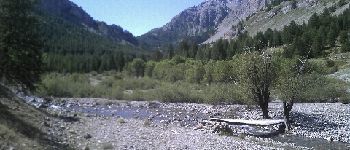
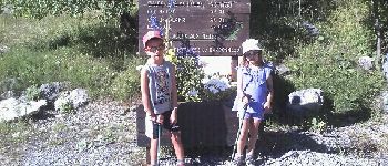
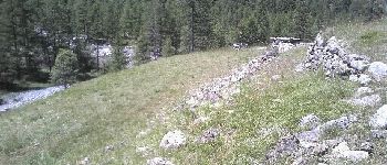
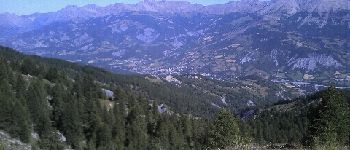
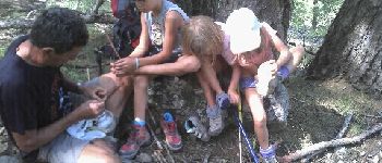
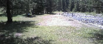
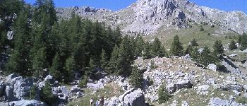
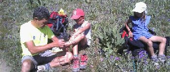
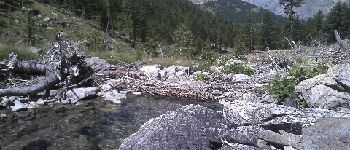
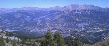
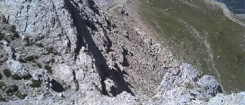
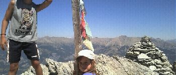
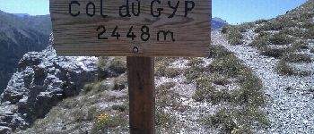
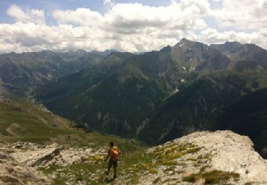
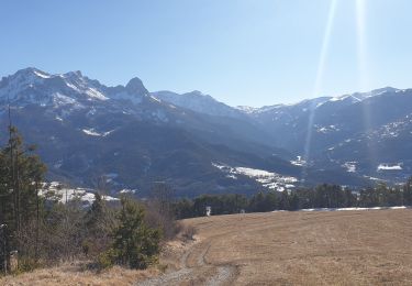
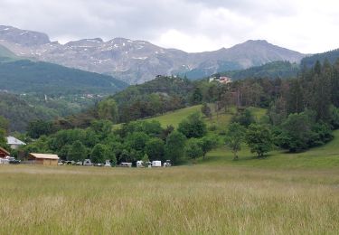
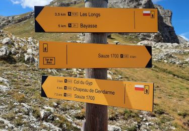
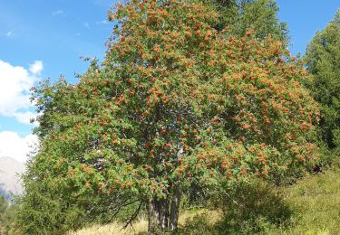
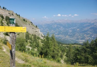
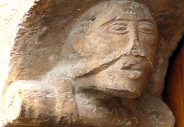
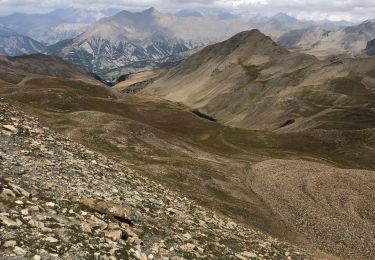
Randonnée Marche de 13,5 km à découvrir à Provence-Alpes-Côte d'Azur, Alpes-de-Haute-Provence, Enchastrayes. Cette randonnée est proposée par davvin13.
ans


V.T.T.
Marche
Marche
Marche
Marche
Marche
Marche
A pied
Marche