


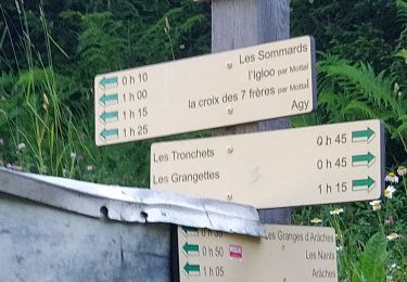
7 km | 8,7 km-effort


Utilisateur


Application GPS de randonnée GRATUITE
 SityTrail
IGN / Instituts géographiques
SityTrail World
Le monde est à vous
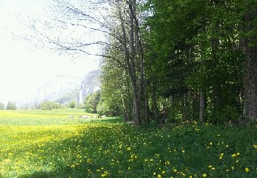
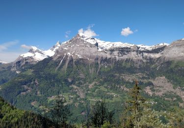
Randonnée Marche de 14,7 km à découvrir à Auvergne-Rhône-Alpes, Haute-Savoie, Magland. Cette randonnée est proposée par nanard74.
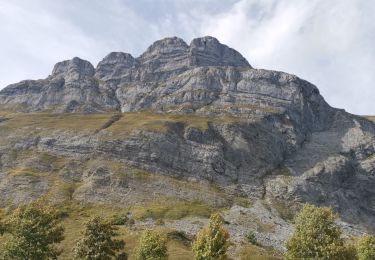
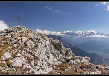
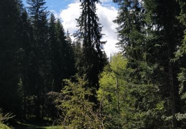
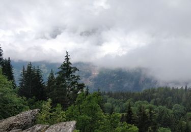
Cette rando allie dénivelé, passages aériens, descente dans un pierrier trés raide et long. C'est pourquoi il faut prévoir de la faire par temps sec et surtout il faut avoir une bonne expérience du milieu rocailleux !!
Marche

Raquettes à neige
Marche
Marche
Marche
Marche
Marche
Marche
Marche