


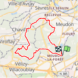


23 km | 31 km-effort

Utilisateur


Application GPS de randonnée GRATUITE
 SityTrail
IGN / Instituts géographiques
SityTrail World
Le monde est à vous
Randonnée Marche de 17,9 km à découvrir à Île-de-France, Hauts-de-Seine, Clamart. Cette randonnée est proposée par c.chehere.
Parking dans le haut du tapis vert.
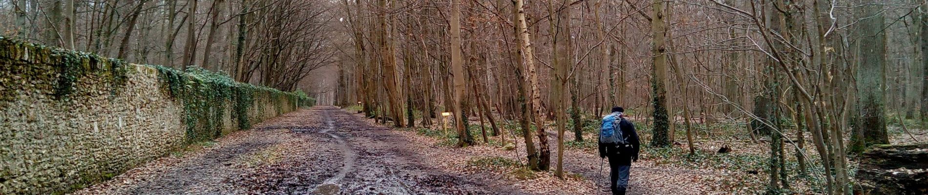
Rando surprise sans préparation pour remplacement d'un itinéraire en forêt de Sénart, mais alerte neige.
Déjeuner au doisus


Marche
Marche

Marche

Marche

Marche

Marche

Marche

Marche

Marche