


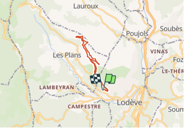

8,3 km | 11,9 km-effort

Utilisateur


Application GPS de randonnée GRATUITE
 SityTrail
IGN / Instituts géographiques
SityTrail World
Le monde est à vous
Randonnée Marche nordique de 10,6 km à découvrir à Occitanie, Hérault, Lodève. Cette randonnée est proposée par mdauzat.
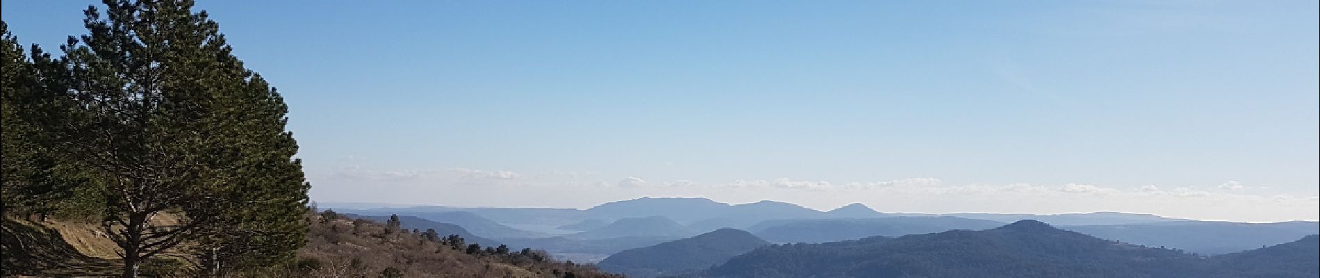
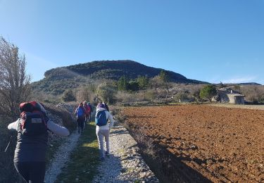
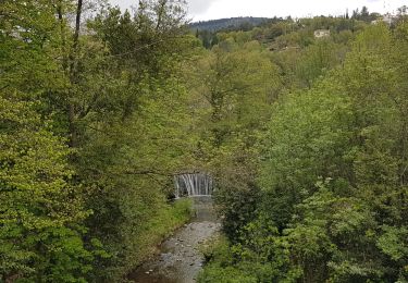
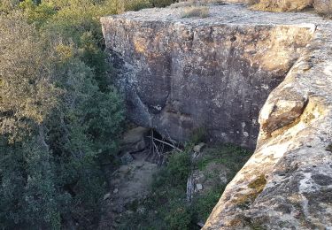
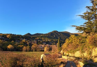
Belle marche sur le sentier du Livre du Lodévois puis sur large piste forestières, avec très belles vues sur la vallée, montant vers le col du Perthus, puis sur le lac du Salagou, avec un court détour vers un très beau petit dolmen avec vue imprenable.


Marche nordique
Marche
Marche
Marche
Marche

Marche

Marche

Marche
Marche