


29 km | 35 km-effort


Utilisateur


Application GPS de randonnée GRATUITE
 SityTrail
IGN / Instituts géographiques
SityTrail World
Le monde est à vous
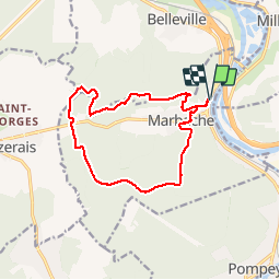
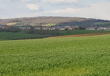
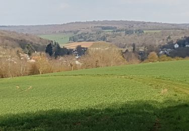
Randonnée Marche de 13,3 km à découvrir à Grand Est, Meurthe-et-Moselle, Marbache. Cette randonnée est proposée par joelclaudel.
Circuit balisé anneau rouge depuis le cimetière.
Gare, cimetière, bois le Roi, bois du Four, Rèle des Sergent, Bois Jopine, forêt de Marbache, retour Marbache et gare
Vélo

V.T.T.
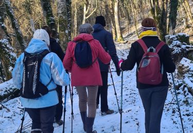
Marche
V.T.T.
A pied

Marche
Marche
Marche
Marche