Randonnée Marche Poigny-la-Forêt - Poigny la forêt - Photo
 c.chehere
c.chehere

Utilisateur

© OpenStreetMap contributors
Longueur
Longueur
18,9 km
Altitude max
Altitude max
186 m
Dénivelé positif
Dénivelé positif
235 m
Km-Effort
Km-Effort  
22 km
Altitude min
Altitude min
136 m
Dénivelé négatif
Dénivelé négatif
235 m
Boucle
Boucle
Oui
Date de création :
2019-06-18 07:54:48.905
Dernière modification :
2019-06-18 17:17:29.799

(0 Avis)

Marche
Marche
5h13
Difficulté : Facile

Scannez ce code QR pour ouvrir la randonnée dans l'application SityTrail

Application GPS de randonnée GRATUITE

Logo SityTrail SityTrail

IGN / Instituts géographiques

Télécharger SityTrail sur l'App Store Télécharger SityTrail sur Google Play

Logo SityTrail SityTrail World

Le monde est à vous

Télécharger SityTrail sur l'App Store Télécharger SityTrail sur Google Play Télécharger SityTrail sur Huawei AppGallery

À propos

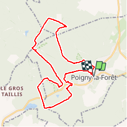
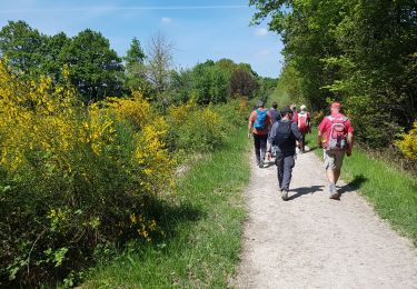
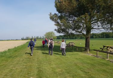
Randonnée Marche de 18,9 km à découvrir à Île-de-France, Yvelines, Poigny-la-Forêt. Cette randonnée est proposée par c.chehere.

Description

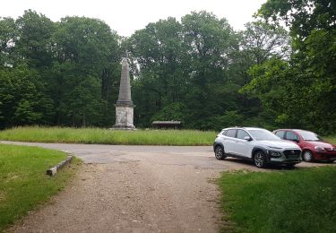
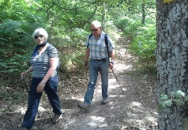
Parking devant la mairie de Poigny.
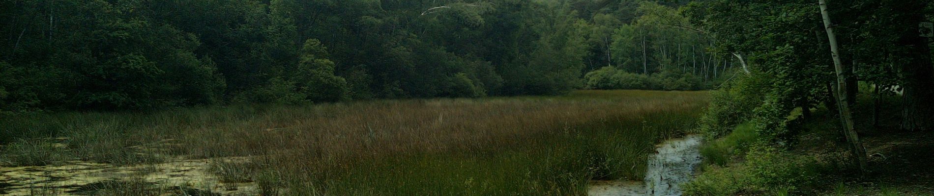
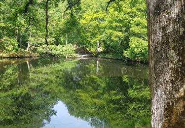
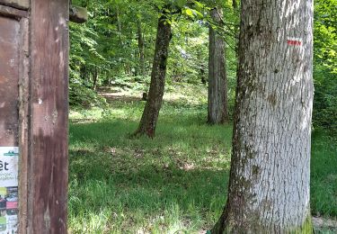
Bien belle rando sur de bons sentiers secs en cette saison.
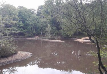
Des faux airs de Fontainebleau

Profil altimétrique

Photos

Localisation

Pays :
France
Région :
Île-de-France
Département/Province :
Yvelines
Commune :
Poigny-la-Forêt
Localité :
Unknown
Départ:(UTM)
408202 ; 5392197 (31U) N.

Randonnées à proximité

Randonnée Marche Saint-Léger-en-Yvelines - Yvelines_Croix-Vilpert=>Rochers-d'Angennes=>Petit-Etang-Neuf - Photo
Marche
BMorin91470

Marche

Moyen
(1)
Saint-Léger-en-Yvelines, Île-de-France, Yvelines, France
21 km | 25 km-effort
3h 35min
Oui
Randonnée V.T.T. Rambouillet - _Les étangs de Hollande - Photo
V.T.T.
GUIDE+

V.T.T.

Moyen
(2)
Rambouillet, Île-de-France, Yvelines, France
29 km | 33 km-effort
2h 9min
Oui
Randonnée Marche Poigny-la-Forêt - Sortie du 25/06/2015 - Photo
Marche
microb

Marche

Moyen
(1)
Poigny-la-Forêt, Île-de-France, Yvelines, France
12,5 km | 14,6 km-effort
3h 13min
Oui
Randonnée Marche Poigny-la-Forêt - poigny - Photo
Marche
galou29

Marche

Très facile
(1)
Poigny-la-Forêt, Île-de-France, Yvelines, France
13,9 km | 15,7 km-effort
3h 11min
Oui
Randonnée Marche Gazeran - 20190714 boucle Gazeran - Photo
Marche
patb54

Marche

Très difficile
(1)
Gazeran, Île-de-France, Yvelines, France
25 km | 30 km-effort
6h 28min
Oui
Randonnée Marche Poigny-la-Forêt - Rochers d'Angennes Yvelines - Photo
Marche
mallovon

Marche

Moyen
Poigny-la-Forêt, Île-de-France, Yvelines, France
6,3 km | 7,6 km-effort
1h 58min
Oui
Randonnée Marche Rambouillet - 2022-05-01_EtangCoupeGorge_MaresDeVilpert - Photo
Marche
BMorin91470

Marche

Facile
Rambouillet, Île-de-France, Yvelines, France
11,2 km | 12,3 km-effort
2h 34min
Oui
Randonnée Marche Rambouillet - 2022-05-01_ EtangCoupeGorge_EtangsDeHollande - Photo
Marche
BMorin91470

Marche

Facile
Rambouillet, Île-de-France, Yvelines, France
14,9 km | 16,4 km-effort
3h 19min
Oui
Randonnée Marche Rambouillet - Promenade ludique dans le Parc de Rambouillet  - Photo
Marche
zanogueb

Marche

Facile
Rambouillet, Île-de-France, Yvelines, France
7,7 km | 8,6 km-effort
2h 7min
Oui


Fermer
Mes abonnements