Inguiniel - La chapelle de Lochrist

MichelRando7656
Utilisateur
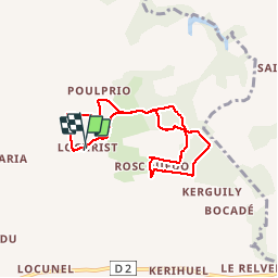

Longueur
6,6 km

Altitude max
173 m

Dénivelé positif
81 m
Km-Effort
7,7 km

Altitude min
143 m

Dénivelé négatif
80 m
Boucle
Oui
Date de création :
2019-08-03 12:22:05.451
Dernière modification :
2019-08-03 14:57:29.185
2h34
Difficulté : Très facile

Application GPS de randonnée GRATUITE
 SityTrail
IGN / Instituts géographiques
SityTrail Plus
Le monde est à vous
À propos
Randonnée Marche de 6,6 km à découvrir à Bretagne, Morbihan, Inguiniel. Cette randonnée est proposée par MichelRando7656.
Description
Randonnée du Pays Pourleth.
Chemins à travers la campagne et les sous-bois.
Très peu de route.
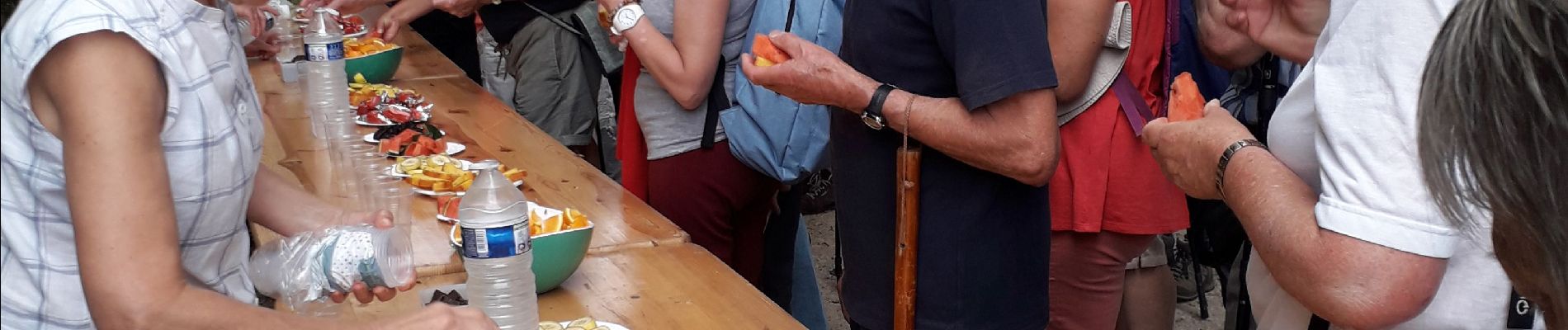
Accueil très sympathique
Photos


Localisation
Pays :
France
Région :
Bretagne
Département/Province :
Morbihan
Commune :
Inguiniel
Localité :
Unknown
Départ:(Dec)
Départ:(UTM)
482001 ; 5312294 (30T) N.
Commentaires