


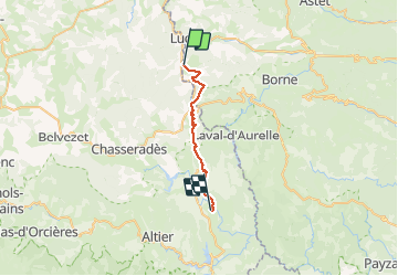

33 km | 46 km-effort


Utilisateur


Application GPS de randonnée GRATUITE
 SityTrail
IGN / Instituts géographiques
SityTrail World
Le monde est à vous
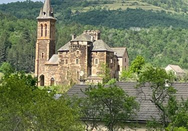
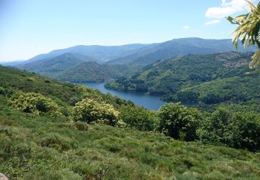
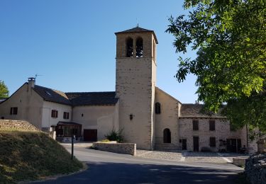
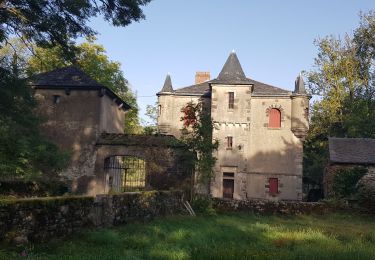
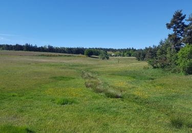
Randonnée Marche de 23 km à découvrir à Auvergne-Rhône-Alpes, Ardèche, Laveyrune. Cette randonnée est proposée par nolsim.
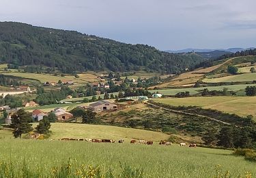
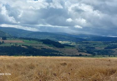
Très belle étape mais bien sportive !


Marche
Marche
Marche
Marche
Marche
Marche
Marche
Marche
Marche