


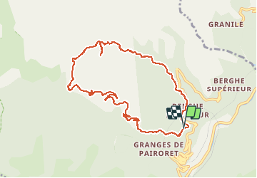

13,9 km | 27 km-effort

Utilisateur


Application GPS de randonnée GRATUITE
 SityTrail
IGN / Instituts géographiques
SityTrail World
Le monde est à vous
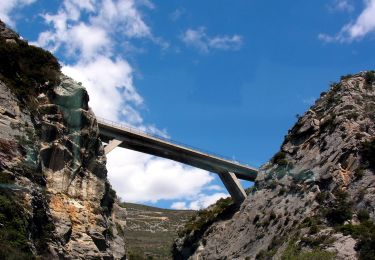
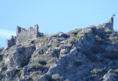
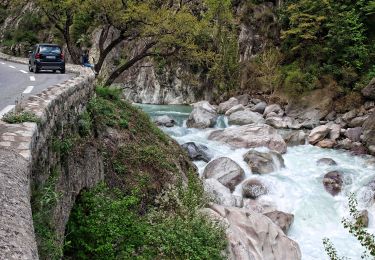
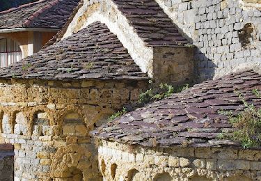
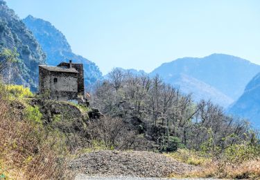
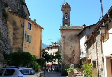
Randonnée Marche de 10,7 km à découvrir à Provence-Alpes-Côte d'Azur, Alpes-Maritimes, Fontan. Cette randonnée est proposée par aris.
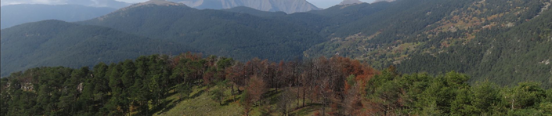
Couleurs d'automne, chataignes et champignons pour cette boucle facile. Belle vue panoramique au sommet de la cime de Corvo.


A pied
A pied
A pied
A pied
A pied
A pied
Marche
Marche
Marche