


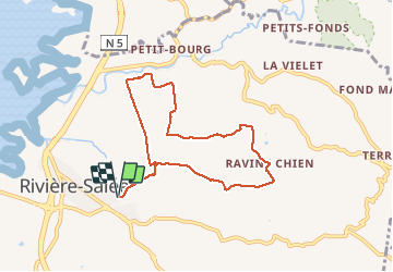


10,8 km | 13,3 km-effort

Utilisateur GUIDE


Application GPS de randonnée GRATUITE
 SityTrail
IGN / Instituts géographiques
SityTrail World
Le monde est à vous
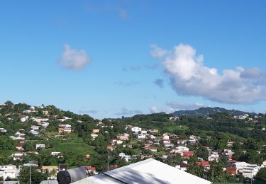
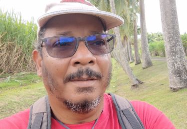
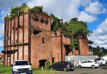
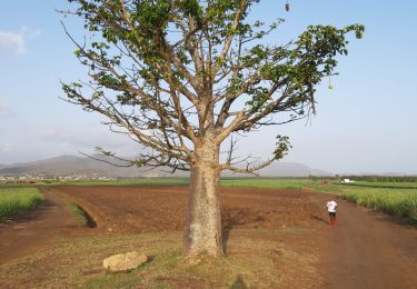
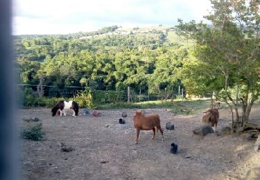
Randonnée Marche de 10,7 km à découvrir à Martinique, Inconnu, Rivière-Salée. Cette randonnée est proposée par GabyG.
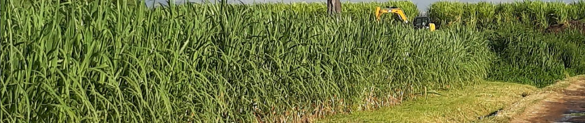
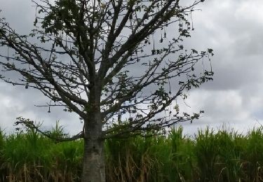
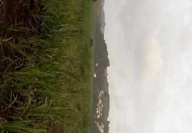
belle randonnée du dimanche, non balisé. traversée de terre agricole.


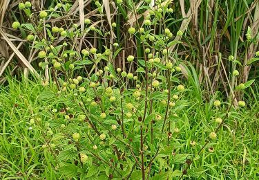
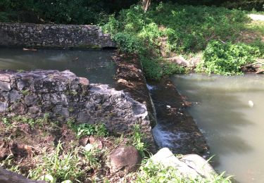
25 photos au total. Cliquez sur une photo pour les afficher toutes dans la galerie.
Marche
Marche
Marche
Marche
Marche
Marche
Marche
Marche
Marche