


theux . hodbomont . grand pierreux . jevoumont . franchimont . theux

stef789
Utilisateur GUIDE
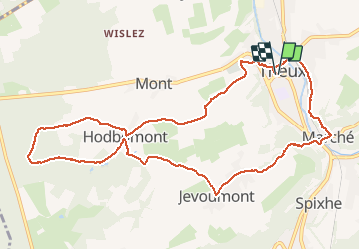

Longueur
10,6 km

Altitude max
334 m

Dénivelé positif
330 m
Km-Effort
15 km

Altitude min
160 m

Dénivelé négatif
331 m
Boucle
Oui
Date de création :
2020-01-26 13:19:27.676
Dernière modification :
2020-01-26 16:30:22.124
3h09
Difficulté : Facile

Application GPS de randonnée GRATUITE
 SityTrail
IGN / Instituts géographiques
SityTrail Plus
Le monde est à vous
À propos
Randonnée Marche de 10,6 km à découvrir à Wallonie, Liège, Theux. Cette randonnée est proposée par stef789.
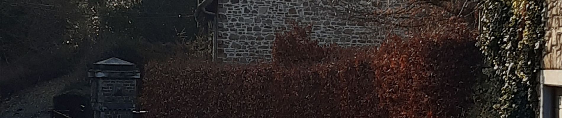
Photos


Localisation
Pays :
Belgique
Région :
Wallonie
Département/Province :
Liège
Commune :
Theux
Localité :
Theux
Départ:(Dec)
Départ:(UTM)
699259 ; 5601887 (31U) N.
Commentaires