


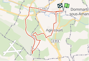

13,3 km | 17,8 km-effort


Utilisateur


Application GPS de randonnée GRATUITE
 SityTrail
IGN / Instituts géographiques
SityTrail World
Le monde est à vous
Randonnée Marche nordique de 8,9 km à découvrir à Grand Est, Meurthe-et-Moselle, Dommartin-sous-Amance. Cette randonnée est proposée par DanielROLLET.
2020 03 09 Marche nordique - 9h20 à 10h55
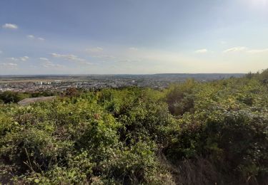
Temps frais et humide
Départ/retour au silo.

A pied

A pied

Marche
Marche

V.T.C.
Marche

Marche
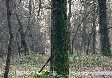
Marche nordique
Marche nordique