


65 km | 93 km-effort

Utilisateur


Application GPS de randonnée GRATUITE
 SityTrail
IGN / Instituts géographiques
SityTrail World
Le monde est à vous
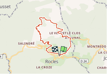
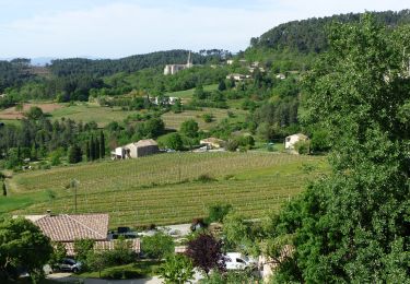
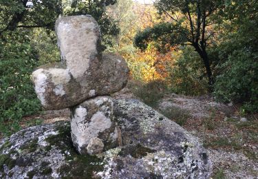
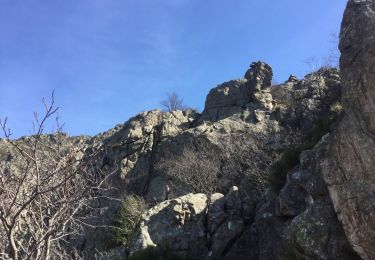
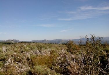
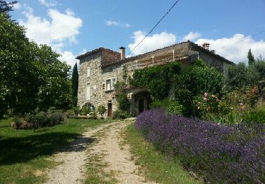
Randonnée Marche de 8,3 km à découvrir à Auvergne-Rhône-Alpes, Ardèche, Rocles. Cette randonnée est proposée par ganinette.
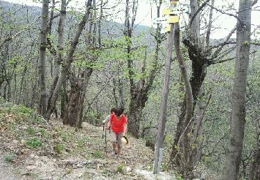
Très belle rando avec un peu de grimpette sans plus et à la porté de toute la famille.
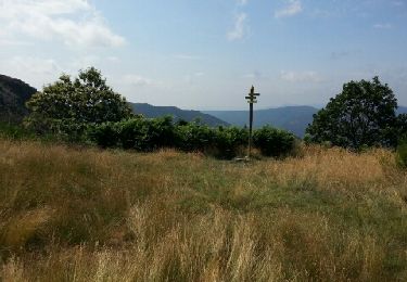
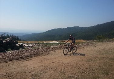
Très beau paysage.


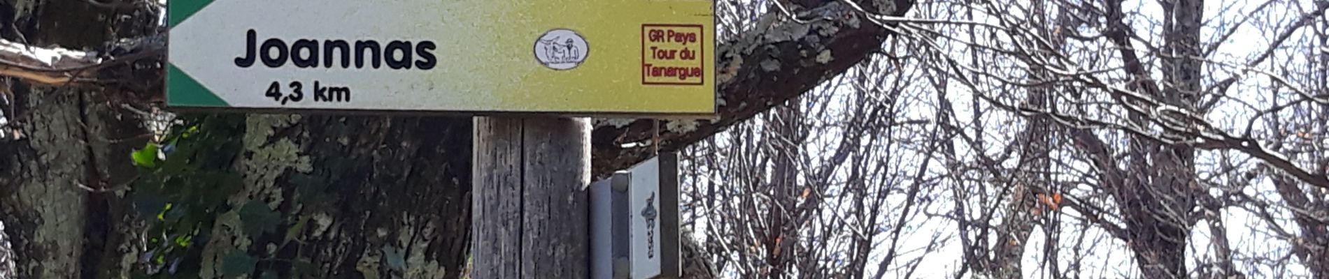
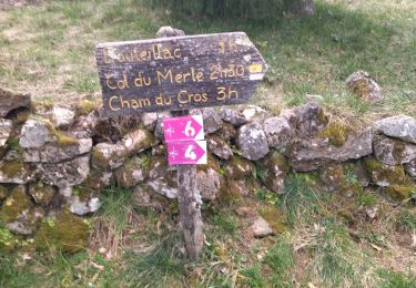
24 photos au total. Cliquez sur une photo pour les afficher toutes dans la galerie.
V.T.T.
Marche
Marche
Marche
A pied
Course à pied
V.T.T.
V.T.T.
Marche