


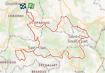

21 km | 25 km-effort


Utilisateur


Application GPS de randonnée GRATUITE
 SityTrail
IGN / Instituts géographiques
SityTrail World
Le monde est à vous
Randonnée V.T.T. de 33 km à découvrir à Occitanie, Lot, Gourdon. Cette randonnée est proposée par phibos.
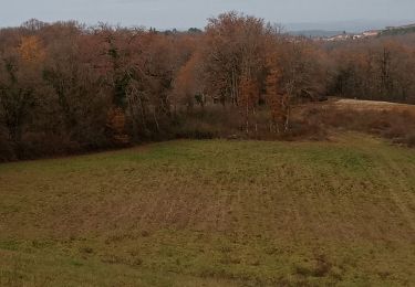
Beau traçé et super vélo : Spécialized Levo

Marche

Marche

V.T.T.
Marche

Randonnée équestre
Marche
Marche