


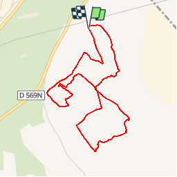

14,4 km | 18 km-effort


Utilisateur


Application GPS de randonnée GRATUITE
 SityTrail
IGN / Instituts géographiques
SityTrail World
Le monde est à vous
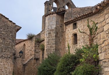
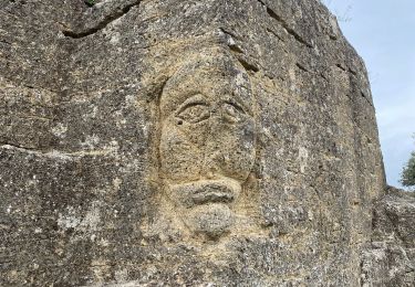
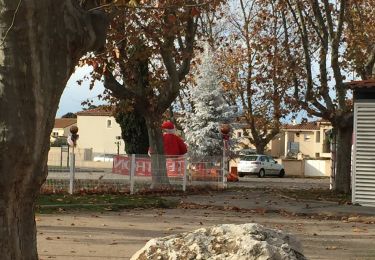
Randonnée V.T.T. de 5,1 km à découvrir à Provence-Alpes-Côte d'Azur, Bouches-du-Rhône, Istres. Cette randonnée est proposée par Lecaps.
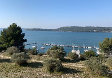
Randonnée organisée dans le cadre du challenge des entreprises organisé par le Rotary Club sur le domaine de Sulauze à Miramas (13) le dimanche 13 avril 2014
Marche
Marche
Marche
Marche
Marche
Marche
Marche

Marche
Marche
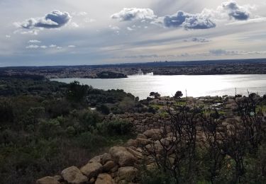
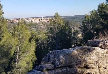
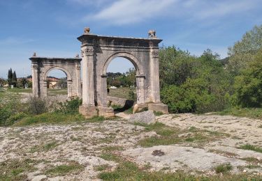
Parcours super agréable. Bravo!