


Chambord-Rond point François 1°

lemuid
Utilisateur
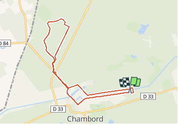

Longueur
8,7 km

Altitude max
109 m

Dénivelé positif
76 m
Km-Effort
9,7 km

Altitude min
70 m

Dénivelé négatif
72 m
Boucle
Oui
Date de création :
2020-07-05 13:12:42.779
Dernière modification :
2020-07-08 11:47:10.778
1h55
Difficulté : Très facile

Application GPS de randonnée GRATUITE
 SityTrail
IGN / Instituts géographiques
SityTrail Plus
Le monde est à vous
À propos
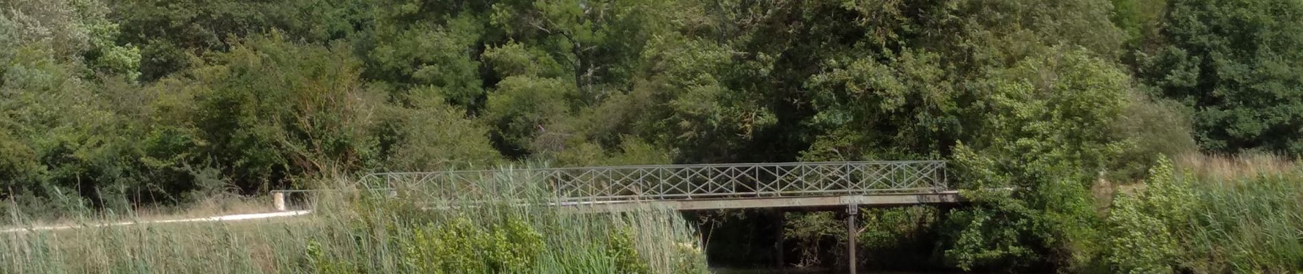
Randonnée Marche de 8,7 km à découvrir à Centre-Val de Loire, Loir-et-Cher, Chambord. Cette randonnée est proposée par lemuid.
Photos


Localisation
Pays :
France
Région :
Centre-Val de Loire
Département/Province :
Loir-et-Cher
Commune :
Chambord
Localité :
Unknown
Départ:(Dec)
Départ:(UTM)
389878 ; 5274872 (31T) N.
Commentaires