


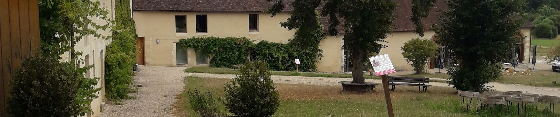
manoir courbpyer

fournieralain
Utilisateur
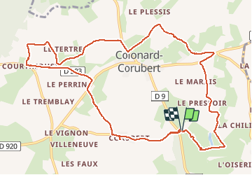

Longueur
12,8 km

Altitude max
253 m

Dénivelé positif
265 m
Km-Effort
16,4 km

Altitude min
164 m

Dénivelé négatif
266 m
Boucle
Oui
Date de création :
2020-07-10 07:01:41.822
Dernière modification :
2020-07-10 12:37:29.809
4h29
Difficulté : Très facile

Application GPS de randonnée GRATUITE
 SityTrail
IGN / Instituts géographiques
SityTrail Plus
Le monde est à vous
À propos
Randonnée Marche de 12,8 km à découvrir à Normandie, Orne, Perche en Nocé. Cette randonnée est proposée par fournieralain.
Description
boucle de 13kms
Photos


Localisation
Pays :
France
Région :
Normandie
Département/Province :
Orne
Commune :
Perche en Nocé
Localité :
Nocé
Départ:(Dec)
Départ:(UTM)
327405 ; 5363139 (31U) N.
Commentaires