


Tweng

Arnaud Dejean
Utilisateur
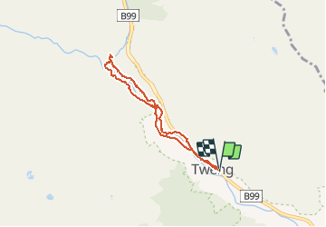

Longueur
5,9 km

Altitude max
1297 m

Dénivelé positif
110 m
Km-Effort
7,4 km

Altitude min
1230 m

Dénivelé négatif
108 m
Boucle
Oui
Date de création :
2020-07-15 06:44:05.753
Dernière modification :
2020-07-15 08:38:59.508
1h30
Difficulté : Facile

Application GPS de randonnée GRATUITE
 SityTrail
IGN / Instituts géographiques
SityTrail Plus
Le monde est à vous
À propos
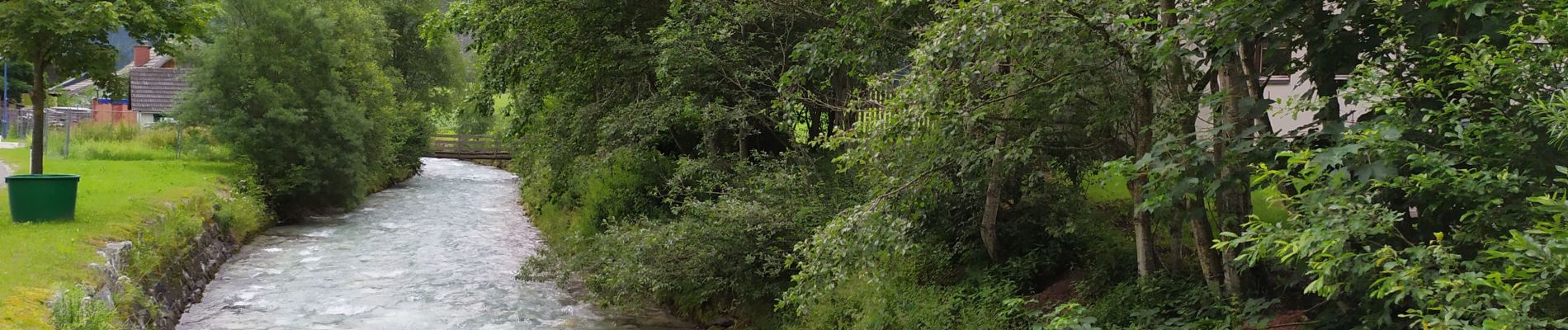
Randonnée Marche de 5,9 km à découvrir à Salzbourg, Bezirk Tamsweg, Tweng. Cette randonnée est proposée par Arnaud Dejean.
Photos


Localisation
Pays :
Autriche
Région :
Salzbourg
Département/Province :
Bezirk Tamsweg
Commune :
Tweng
Localité :
Unknown
Départ:(Dec)
Départ:(UTM)
394140 ; 5227196 (33T) N.
Commentaires