


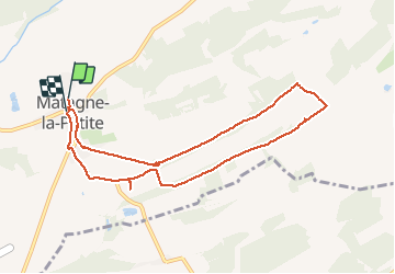


8,9 km | 12,7 km-effort

Utilisateur GUIDE


Application GPS de randonnée GRATUITE
 SityTrail
IGN / Instituts géographiques
SityTrail World
Le monde est à vous
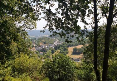
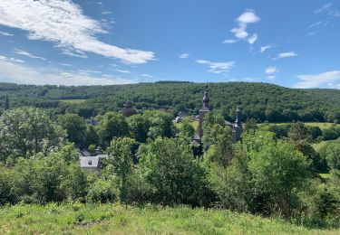
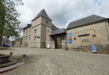
Randonnée Marche de 8,5 km à découvrir à Wallonie, Namur, Doische. Cette randonnée est proposée par Desrumaux.
Cette promenade vous est proposée par l'office du tourisme de Doische.
La balade balisée d'un rectangle rouge vous donne le choix entre la petite boucle de 3,1 km ou la grande boucle de 8 km
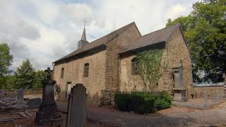


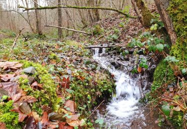
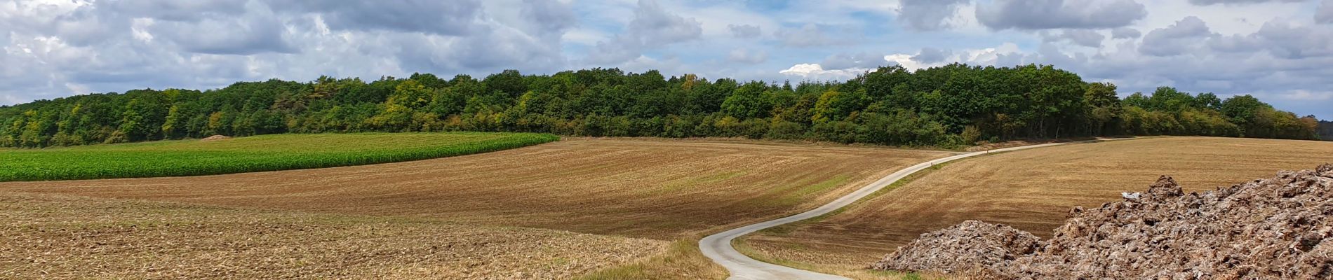
Marche

Marche

Marche

Marche
Marche
V.T.T.

Marche
A pied